| [3] |
Name on the Register[4] |
Image |
Date listed[5] |
Location |
City or town |
Description |
|---|
| 1 |
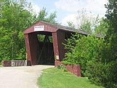
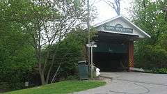
4th Roann Covered Bridge |
|
000000001981-08-06-0000August 6, 1981
(#81000022) |
North of Roann on N. County Road 700W
40°54′56″N 85°55′27″W / 40.915556°N 85.924167°W / 40.915556; -85.924167 (4th Roann Covered Bridge) |
Paw Paw Township and Roann |
|
| 2 |
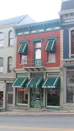
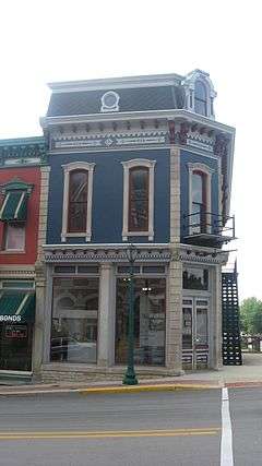
James M. Amoss Building |
|
000000001984-08-30-0000August 30, 1984
(#84001742) |
110 S. Wabash St.
40°47′52″N 85°49′16″W / 40.797667°N 85.821000°W / 40.797667; -85.821000 (James M. Amoss Building) |
Wabash |
|
| 3 |
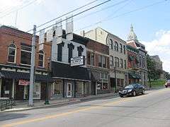
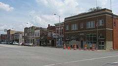
Downtown Wabash Historic District |
|
000000001986-07-18-0000July 18, 1986
(#86001678) |
Roughly bounded by Hill, Wabash, Canal, and Miami Sts.
40°47′50″N 85°49′17″W / 40.797222°N 85.821389°W / 40.797222; -85.821389 (Downtown Wabash Historic District) |
Wabash |
|
| 4 |
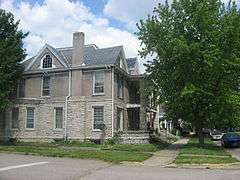
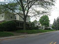
East Wabash Historic District |
|
000000002011-06-23-0000June 23, 2011
(#11000390) |
Roughly bounded by Walnut, E. Market, N. Wabash, and S. East Sts.
40°47′56″N 85°49′04″W / 40.798889°N 85.817778°W / 40.798889; -85.817778 (East Wabash Historic District) |
Wabash |
|
| 5 |
First Christian Church |
|
000000001983-06-23-0000June 23, 1983
(#83000161) |
110 W. Hill St.
40°47′56″N 85°49′22″W / 40.798889°N 85.822778°W / 40.798889; -85.822778 (First Christian Church) |
Wabash |
|
| 6 |
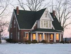
Halderman-Van Buskirk Farmstead |
|
000000002013-03-20-0000March 20, 2013
(#13000092) |
5653 N700W, south of Roann
40°54′22″N 85°55′26″W / 40.906111°N 85.923889°W / 40.906111; -85.923889 (Halderman-Van Buskirk Farmstead) |
Paw Paw Township |
|
| 7 |
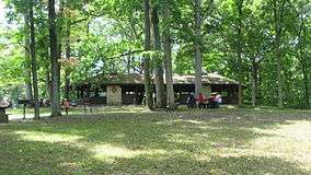
Hominy Ridge Shelter House |
|
000000001994-09-23-0000September 23, 1994
(#94001122) |
On the south bank of the Salamonie River, north of Hominy Ridge Lake and southeast of Lagro, in the Salamonie River State Forest
40°48′34″N 85°40′59″W / 40.809444°N 85.683056°W / 40.809444; -85.683056 (Hominy Ridge Shelter House) |
Lagro Township |
|
| 8 |
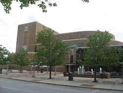
Honeywell Memorial Community Center |
|
000000001983-07-15-0000July 15, 1983
(#83000042) |
275 W. Market St.
40°47′45″N 85°49′30″W / 40.795833°N 85.825000°W / 40.795833; -85.825000 (Honeywell Memorial Community Center) |
Wabash |
|
| 9 |
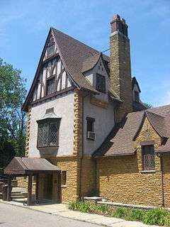
Honeywell Studio |
|
000000002005-06-17-0000June 17, 2005
(#05000609) |
378 N. State Road 15
40°49′48″N 85°51′26″W / 40.830000°N 85.857222°W / 40.830000; -85.857222 (Honeywell Studio) |
Wabash |
|
| 10 |
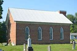
Hopewell Methodist Episcopal Church and Cemetery |
|
000000002015-09-14-0000September 14, 2015
(#15000600) |
5031 E300N
40°52′13″N 85°41′57″W / 40.870278°N 85.699167°W / 40.870278; -85.699167 (Hopewell Methodist Episcopal Church and Cemetery) |
Lagro Township |
|
| 11 |
LaFontaine Historic District |
|
000000002014-09-30-0000September 30, 2014
(#14000809) |
Roughly Kendall and Branson between Walnut and Gruell Sts.
40°40′27″N 85°43′21″W / 40.674167°N 85.722500°W / 40.674167; -85.722500 (LaFontaine Historic District) |
La Fontaine |
|
| 12 |
Lentz House (Hotel Sheller) |
|
000000001982-11-14-0000November 14, 1982
(#82000050) |
Walnut and 2nd Sts.
41°00′01″N 85°46′08″W / 41.000278°N 85.768889°W / 41.000278; -85.768889 (Lentz House (Hotel Sheller)) |
North Manchester |
|
| 13 |
Thomas J. Lewis House |
|
000000002006-06-21-0000June 21, 2006
(#06000521) |
105 S. Arnold St.
40°54′41″N 85°55′18″W / 40.911444°N 85.921667°W / 40.911444; -85.921667 (Thomas J. Lewis House) |
Roann |
|
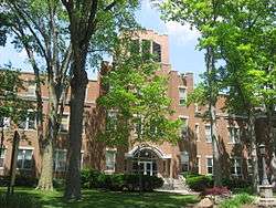
| 14 |
Manchester College Historic District |
|
000000001990-12-27-0000December 27, 1990
(#90001929) |
604 College Ave.
41°00′38″N 85°45′45″W / 41.010556°N 85.7625°W / 41.010556; -85.7625 (Manchester College Historic District) |
North Manchester |
|
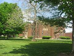
| 15 |
Thomas R. Marshall School |
|
000000002004-03-22-0000March 22, 2004
(#04000206) |
603 Bond St.
41°00′19″N 85°45′45″W / 41.005278°N 85.7625°W / 41.005278; -85.7625 (Thomas R. Marshall School) |
North Manchester |
|
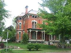
| 16 |
McNamee-Ford House |
|
000000001995-03-03-0000March 3, 1995
(#95000199) |
536 N. Wabash St.
40°48′20″N 85°49′16″W / 40.805556°N 85.821111°W / 40.805556; -85.821111 (McNamee-Ford House) |
Wabash |
|
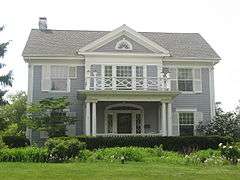
| 17 |
Noftzger-Adams House |
|
000000001979-11-14-0000November 14, 1979
(#79000024) |
102 E. 3rd St.
41°00′06″N 85°46′11″W / 41.001528°N 85.769861°W / 41.001528; -85.769861 (Noftzger-Adams House) |
North Manchester |
|
| 18 |
North Manchester Covered Bridge |
|
000000001982-09-30-0000September 30, 1982
(#82000051) |
S. Mill St. at the Eel River
40°59′45″N 85°45′55″W / 40.995833°N 85.765278°W / 40.995833; -85.765278 (North Manchester Covered Bridge) |
North Manchester |
|
| 19 |
North Manchester Historic District |
|
000000002002-06-27-0000June 27, 2002
(#02000687) |
Roughly bounded by Maple, 3rd, and Mill Sts., and the northern bank of the Eel River
40°59′58″N 85°46′15″W / 40.999444°N 85.770833°W / 40.999444; -85.770833 (North Manchester Historic District) |
North Manchester |
|
| 20 |
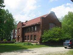
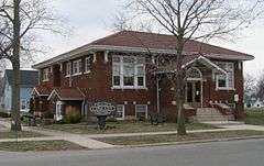
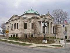
North Manchester Public Library |
|
000000001996-03-14-0000March 14, 1996
(#96000290) |
204 W. Main St.
40°59′57″N 85°46′20″W / 40.999250°N 85.772222°W / 40.999250; -85.772222 (North Manchester Public Library) |
North Manchester |
|
| 21 |
North Wabash Historic District |
|
000000001999-09-03-0000September 3, 1999
(#99001077) |
Roughly bounded by W. Maple, N. Carroll, Ferry, Miami, Pawling, N. Wabash, and Union Sts.
40°48′13″N 85°49′18″W / 40.803611°N 85.821667°W / 40.803611; -85.821667 (North Wabash Historic District) |
Wabash |
|
| 22 |
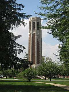
Peabody Memorial Tower |
|
000000002010-06-24-0000June 24, 2010
(#10000377) |
400 W. 7th St.
41°00′22″N 85°46′33″W / 41.006000°N 85.775833°W / 41.006000; -85.775833 (Peabody Memorial Tower) |
North Manchester |
|
| 23 |
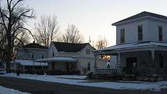
Roann Historic District |
|
000000002013-03-20-0000March 20, 2013
(#13000093) |
Roughly bounded by State Road 16 and West, Ohio, and Beamer Sts.
40°54′40″N 85°55′30″W / 40.911111°N 85.925000°W / 40.911111; -85.925000 (Roann Historic District) |
Paw Paw Township and Roann |
|
| 24 |
Roann-Paw Paw Township Public Library |
|
000000002002-12-20-0000December 20, 2002
(#02001561) |
240 S. Chippewa Rd.
40°54′36″N 85°55′29″W / 40.91°N 85.924722°W / 40.91; -85.924722 (Roann-Paw Paw Township Public Library) |
Roann |
|
| 25 |
St. Patrick's Roman Catholic Church |
|
000000001999-03-12-0000March 12, 1999
(#99000306) |
W. Main St.
40°50′11″N 85°43′48″W / 40.836389°N 85.73°W / 40.836389; -85.73 (St. Patrick's Roman Catholic Church) |
Lagro |
|
| 26 |
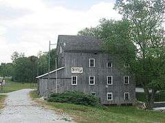
Stockdale Mill |
|
000000002004-03-24-0000March 24, 2004
(#04000204) |
N. County Road 800W at Stockdale
40°54′52″N 85°56′36″W / 40.914444°N 85.943333°W / 40.914444; -85.943333 (Stockdale Mill) |
Paw Paw Township |
|
| 27 |
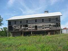
Teague Barn Wabash Importing Company Farm Stable |
|
000000002002-06-27-0000June 27, 2002
(#02000691) |
4568 W. Mill Creek Pike, southwest of Wabash
40°46′31″N 85°52′44″W / 40.775278°N 85.878889°W / 40.775278; -85.878889 (Teague Barn Wabash Importing Company Farm Stable) |
Noble Township |
|
| 28 |
West Wabash Historic District |
|
000000001988-04-21-0000April 21, 1988
(#88000447) |
Bounded roughly by the Norfolk Southern railroad line and Union, Wabash, Miami, Main, and Holliday Sts.
40°47′54″N 85°49′28″W / 40.798333°N 85.824444°W / 40.798333; -85.824444 (West Wabash Historic District) |
Wabash |
|
| 29 |
Solomon Wilson Building |
|
000000001984-08-30-0000August 30, 1984
(#84001743) |
102 S. Wabash St.
40°47′52″N 85°49′15″W / 40.797778°N 85.820833°W / 40.797778; -85.820833 (Solomon Wilson Building) |
Wabash |
|

