Turi Turini (Cochabamba)
This article is about the mountain in the Cochabamba Department, Bolivia. For other uses, see Turi Turini.
| Turi Turini | |
|---|---|
 Turi Turini Location within Bolivia | |
| Highest point | |
| Elevation | 4,640 m (15,220 ft) [1] |
| Coordinates | 16°58′28″S 66°38′03″W / 16.97444°S 66.63417°WCoordinates: 16°58′28″S 66°38′03″W / 16.97444°S 66.63417°W |
| Geography | |
| Location |
Bolivia, Cochabamba Department |
| Parent range | Andes |
Turi Turini (Aymara turi tower,[2] the reduplication indicates that there is a group of something, -ni a suffix to indicate ownership, "the one with a group of towers", also spelled Tori Torini) is a mountain in the Bolivian Andes which reaches a height of approximately 4,640 m (15,220 ft). It is located in the Cochabamba Department, Ayopaya Province, Morochata Municipality, southwest of the village of Chorito.[1][3]
References
- 1 2 Bolivia 1:100,000 Comunidad Chorito 3537, Map prepared and published by the Defense Mapping Agency, Hydrographic/Topographic Center, Bethesda, MD
- ↑ Radio San Gabriel, "Instituto Radiofonico de Promoción Aymara" (IRPA) 1993, Republicado por Instituto de las Lenguas y Literaturas Andinas-Amazónicas (ILLLA-A) 2011, Transcripción del Vocabulario de la Lengua Aymara, P. Ludovico Bertonio 1612 (Spanish-Aymara-Aymara-Spanish dictionary)
- ↑ "Morochata". INE, Bolivia. Retrieved April 17, 2016. (including Cocapata Municipality)
Capital: Cochabamba | ||
| Provinces | 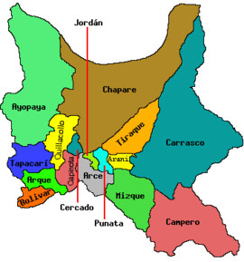 | |
| Municipalities (and seats) |
| |
This article is issued from Wikipedia - version of the 4/18/2016. The text is available under the Creative Commons Attribution/Share Alike but additional terms may apply for the media files.