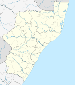
Trafalgar, KwaZulu-Natal
| Trafalgar | |
|---|---|
 Trafalgar  Trafalgar  Trafalgar
| |
| Coordinates: 30°57′29″S 30°17′31″E / 30.958°S 30.292°ECoordinates: 30°57′29″S 30°17′31″E / 30.958°S 30.292°E | |
| Country | South Africa |
| Province | KwaZulu-Natal |
| District | Ugu |
| Municipality | Hibiscus Coast |
| Area[1] | |
| • Total | 2.63 km2 (1.02 sq mi) |
| Population (2011)[1] | |
| • Total | 397 |
| • Density | 150/km2 (390/sq mi) |
| Racial makeup (2011)[1] | |
| • Black African | 21.4% |
| • Coloured | 0.5% |
| • White | 78.1% |
| First languages (2011)[1] | |
| • English | 50.6% |
| • Afrikaans | 35.3% |
| • Zulu | 6.5% |
| • Xhosa | 3.5% |
| • Other | 4.0% |
| PO box | 4275 |
Trafalgar is a seaside resort town in Ugu District Municipality in the KwaZulu-Natal province of South Africa. Trafalgar is on the north bank of the Mpenjati river which enters the Indian Ocean at the Mpenjati Nature Reserve. Mpenjati Nature Reserve has South Africa's only officially sanctioned naturist beach.
References
- 1 2 3 4 "Sub Place Trafalgar". Census 2011.
This article is issued from Wikipedia - version of the 5/4/2016. The text is available under the Creative Commons Attribution/Share Alike but additional terms may apply for the media files.
.svg.png)