Topola, Lower Silesian Voivodeship
For other places with the same name, see Topola.
| Topola | |
|---|---|
| Village | |
 Topola | |
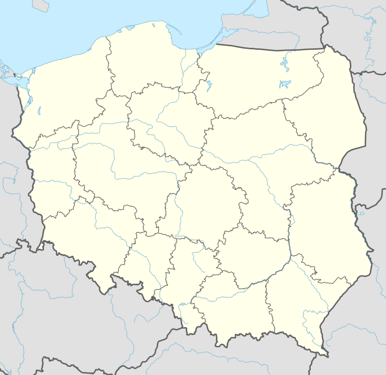
| Coordinates: 50°30′0″N 16°55′25″E / 50.50000°N 16.92361°E | |
| Country |
|
| Voivodeship | Lower Silesian |
| County | Ząbkowice Śląskie |
| Gmina | Kamieniec Ząbkowicki |
Topola [tɔˈpɔla] (German: Reichenau) is a village in the administrative district of Gmina Kamieniec Ząbkowicki, within Ząbkowice Śląskie County, Lower Silesian Voivodeship, in south-western Poland.[1] Prior to 1945 it was in Germany. It lies approximately 5 kilometres (3 mi) south-east of Kamieniec Ząbkowicki, 12 km (7 mi) south-east of Ząbkowice Śląskie, and 70 km (43 mi) south of the regional capital Wrocław.
References
| Seat |  | |
|---|---|---|
| Other villages | ||
Coordinates: 50°30′00″N 16°55′25″E / 50.50000°N 16.92361°E
This article is issued from Wikipedia - version of the 3/17/2013. The text is available under the Creative Commons Attribution/Share Alike but additional terms may apply for the media files.