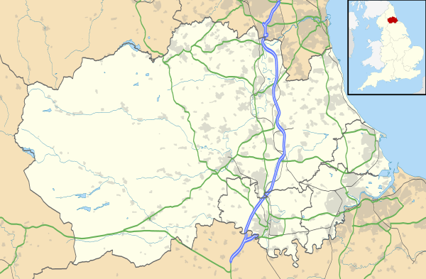
Sherburn, County Durham
| Sherburn | |
 Sherburn |
|
| Population | 3,140 (2011)[1] |
|---|---|
| OS grid reference | NZ 3199142300 |
| Civil parish | Sherburn Village |
| Unitary authority | County Durham |
| Ceremonial county | County Durham |
| Region | North East |
| Country | England |
| Sovereign state | United Kingdom |
| Police | Durham |
| Fire | County Durham and Darlington |
| Ambulance | North East |
| EU Parliament | North East England |
|
|
Coordinates: 54°46′29″N 1°30′15″W / 54.774601°N 1.5042200°W
Sherburn Village it is part of the unitary authority of County Durham lying 3.5 miles east of Durham in the north east of England. It is one of the "green villages" of County Durham.
The village is located in the Sherburn division of Durham County Council and the City of Durham constituency for Westminster elections. The population of this division taken at the 2011 census was 9,108.[2]
History
A settlement has existed in this location for some considerable time. Until the 19th century Sherburn was a farming village, but with the Industrial Revolution came the sinking of mines to provide coal to fuel the industries and railways to ensure its distribution. By the 1930s the two pits that were within the Parish boundaries were closed and with the demise of neighbouring collieries in the 1960s the railway lines also became redundant.
In recent years Sherburn Village has become a popular place in which to live, surrounded by countryside and with transport links to the City of Durham, Newcastle, Sunderland and Teesside.
References
- ↑ "Civil Parish population 2011". Retrieved 20 July 2015.
- ↑ "Ward population 2011". Retrieved 20 July 2015.
External links
External links
![]() Media related to Sherburn, County Durham at Wikimedia Commons
Media related to Sherburn, County Durham at Wikimedia Commons