Mačvanska Mitrovica
| Mačvanska Mitrovica Мачванска Митровица | |
|---|---|
| Town | |
|
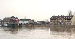
View | |
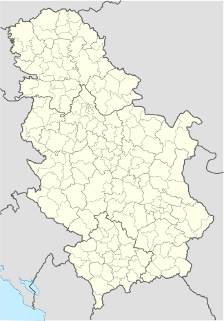
 Mačvanska Mitrovica Location in Serbia | |
| Coordinates: 44°57′56″N 19°35′53″E / 44.96556°N 19.59806°ECoordinates: 44°57′56″N 19°35′53″E / 44.96556°N 19.59806°E | |
| Country | Serbia |
| Province | Vojvodina |
| District | Syrmia |
| Municipality | Sremska Mitrovica |
| Area | |
| • Total | 2.4 km2 (0.9 sq mi) |
| Elevation | 76 m (249 ft) |
| Population (2002) | |
| • Total | 3,896 |
| • Density | 1,623/km2 (4,200/sq mi) |
| Area code(s) | + 381(0)22 |
Mačvanska Mitrovica (Serbian Cyrillic: Мачванска Митровица, pronounced [mât͡ʃv̞anskaː mîtrɔv̞it͡sa]) is a town located in the Sremska Mitrovica municipality, in the Syrmia District of Serbia. It is situated in the Autonomous Province of Vojvodina. The town has a Serb ethnic majority and its population numbering 3,896 people (2002 census).
Name
Its name means "Mitrovica of Mačva" (Mitrovica of Srem and Mitrovica of Kosovo also exist). In Serbian, the town is known as Mačvanska Mitrovica (Мачванска Митровица), in Croatian as Mačvanska Mitrovica, and in Hungarian as Szenternye. Other Serbian names used for the town include Srpska Mitrovica (Српска Митровица), Mala Mitrovica (Мала Митровица), and Mitrovica (Митровица).
Geography

Together with the neighbouring villages of Noćaj, Salaš Noćajski, Radenković, Ravnje and Zasavica II, the town of Mačvanska Mitrovica is the only town in Vojvodina located in the Mačva region, i.e. on the right bank of the river Sava.
Notable residents
- Former professional footballer Nikola Budišić was born in the town
Demographics
Ethnic groups (2002 census):
- Serbs = 3,621
- Romani = 87
- Croats = 21
- Yugoslavs = 14
- Hungarians = 10
- others.
Historical population
- 1921: 220
- 1931: 567
- 1948: 705
- 1953: 869
- 1961: 1,408
- 1971: 3,357
- 1981: 3,661
- 1991: 3,788
- 2002: 3,896
References
- Slobodan Ćurčić, Broj stanovnika Vojvodine, Novi Sad, 1996.
See also
| Wikimedia Commons has media related to Mačvanska Mitrovica. |
