Kostinbrod Pass
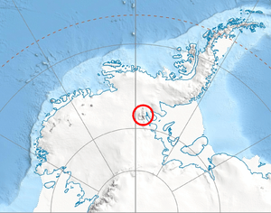
Kostinbrod Pass (Bulgarian: Костинбродски проход, ‘Kostinbrodski Prohod’ \'ko-stin-brod-ski 'pro-hod\) is the ice-covered saddle of elevation 1100 m separating Doyran Heights from Flowers Hills in Sentinel Range, Ellsworth Mountains in Antarctica. It is part of the glacial divide between Valoga Glacier and Sikera Valley.
The pass is named after the town of Kostinbrod in Western Bulgaria.
Location
Kostinbrod Pass is centred at 78°25′59″S 84°28′19″W / 78.43306°S 84.47194°WCoordinates: 78°25′59″S 84°28′19″W / 78.43306°S 84.47194°W, which is 6.16 km northeast of Mount Havener, 9.53 km south of Dickey Peak and 7.32 km west-northwest of Gubesh Peak. US mapping in 1961, updated in 1988.
Maps
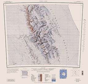
- Vinson Massif. Scale 1:250 000 topographic map. Reston, Virginia: US Geological Survey, 1988.
References
- Kostinbrod Pass. SCAR Composite Antarctic Gazetteer.
- Bulgarian Antarctic Gazetteer. Antarctic Place-names Commission. (details in Bulgarian, basic data in English)
This article includes information from the Antarctic Place-names Commission of Bulgaria which is used with permission.