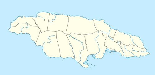
Kintyre, Jamaica
| Kintyre | |
|---|---|
| Urban squatter neighbourhood | |
 Kintyre | |
| Coordinates: JM 18°00′48″N 76°44′19″W / 18.0133°N 76.7386°WCoordinates: JM 18°00′48″N 76°44′19″W / 18.0133°N 76.7386°W | |
| Country | Jamaica |
| Parish | Saint Andrew |
Kintyre is located in St. Andrew Jamaica on the side of a mountain immediately east of the Hope River, Jamaica beyond Papine.[1] It is accessible only via a driving bridge that can be sure to have some fault whenever a hurricane or heavy rain passes over the island.[2]
The community has been taken over by little gangs who terrorize the community making it more difficult to live in.[3]
References
- ↑ "Kintyre, Jamaica". WikiMapia. Retrieved 29 November 2012.
- ↑ MATTHEWS, KIMMO (1 October 2012). "Kintyre residents stranded, blame authorities". Jamaica Observer. Retrieved 29 November 2012.
- ↑ "Four killed as cops, gunmen trade bullets in Kintyre". Jamaica Observer. Retrieved 29 November 2012.
This article is issued from Wikipedia - version of the 4/3/2014. The text is available under the Creative Commons Attribution/Share Alike but additional terms may apply for the media files.