Czarkówka Mała
| Czarkówka Mała | |
|---|---|
| Village | |
 Czarkówka Mała | |
| Coordinates: 52°36′N 22°35′E / 52.600°N 22.583°E | |
| Country |
|
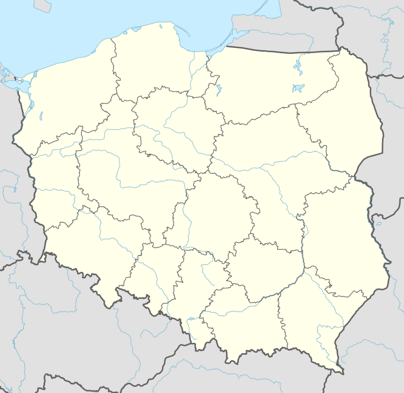
| Voivodeship | Podlaskie |
| County | Siemiatycze |
| Gmina | Perlejewo |
Czarkówka Mała [t͡ʂarˈkufka ˈmawa] is a village in the administrative district of Gmina Perlejewo, within Siemiatycze County, Podlaskie Voivodeship, in north-eastern Poland.[1] It lies approximately 4 kilometres (2 mi) north of Perlejewo, 27 km (17 mi) north-west of Siemiatycze, and 70 km (43 mi) south-west of the regional capital Białystok.
References
Coordinates: 52°36′N 22°35′E / 52.600°N 22.583°E
This article is issued from Wikipedia - version of the 8/20/2013. The text is available under the Creative Commons Attribution/Share Alike but additional terms may apply for the media files.