Chestnut Street, Kent
Coordinates: 51°20′31″N 0°41′10″E / 51.342°N 0.686°E
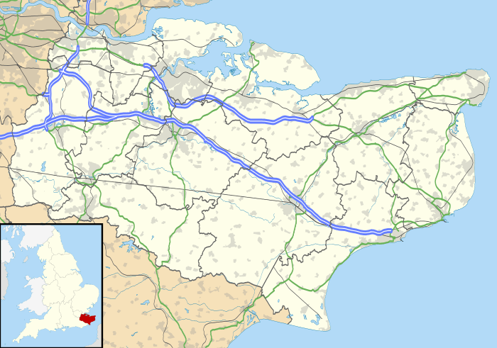
Chestnut Street is a settlement to the west of Sittingbourne in the Borough of Swale, Kent, England.
It is located on the former A249 road alignment, between the junction with the A2 road near Key Street and Danaway. The A249, a dual carriageway since the 1990s, avoids Chestnut Street. Its postal address is Chestnut Street, Borden, Kent; that village is a mile (1.6 km) to the east.
There are a number of Grade II listed buildings in the hamlet, including Hooks Hole, Old Houses, Dumbles, Tudor Rose Cottage, Oldstede, and Chestnut Street Farmhouse.[1]
References
- ↑ "Chestnut Street Farmhouse, Borden". www.britishlistedbuildings.co.uk. Retrieved 20 February 2014.
External links
This article is issued from Wikipedia - version of the 9/20/2016. The text is available under the Creative Commons Attribution/Share Alike but additional terms may apply for the media files.
