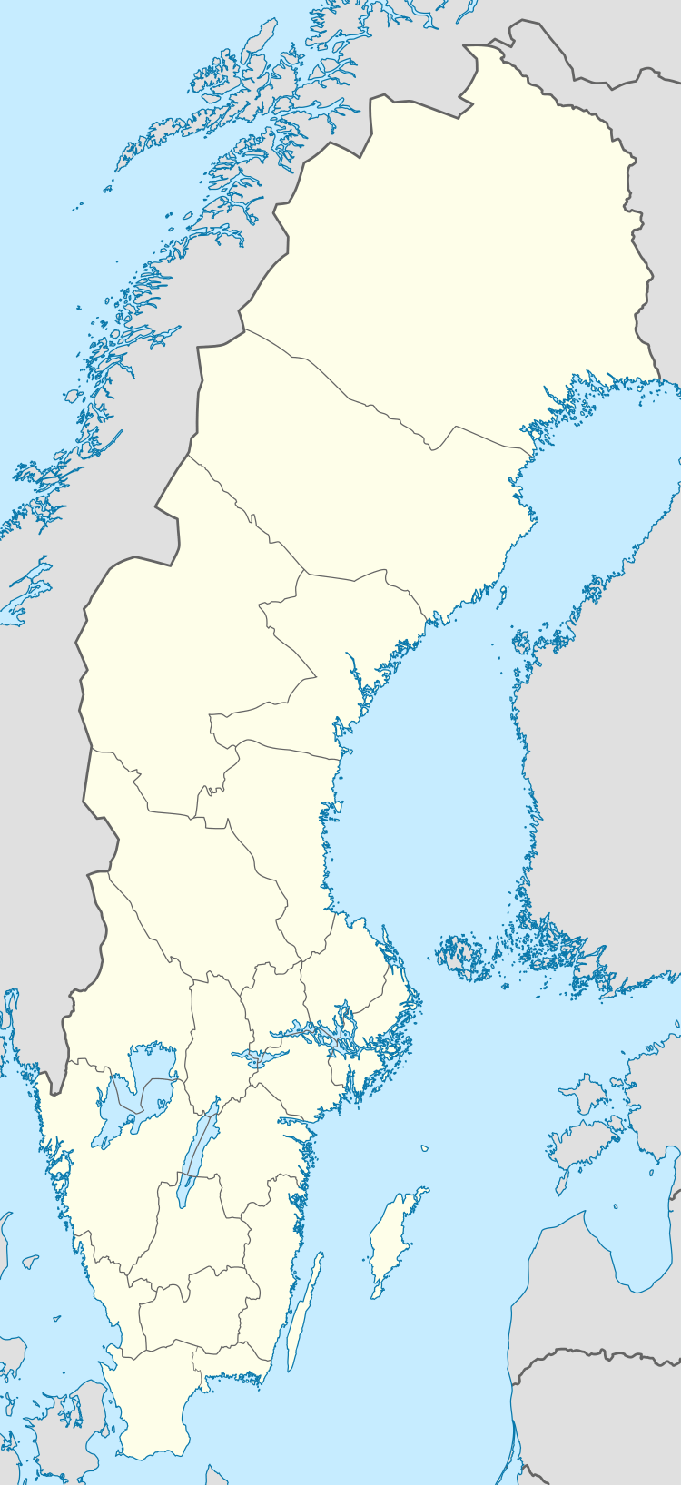
Barsebäck
| Barsebäck, Sweden | |
|---|---|
|
Barsebäck Nuclear Power Plant seen from Bjärred | |
 Barsebäck, Sweden  Barsebäck, Sweden | |
| Coordinates: 55°46′15″N 12°57′20″E / 55.77083°N 12.95556°ECoordinates: 55°46′15″N 12°57′20″E / 55.77083°N 12.95556°E | |
| Country | Sweden |
| Province | Skåne |
| County | Skåne County |
| Municipality | Kävlinge Municipality |
| Area[1] | |
| • Total | 0.44 km2 (0.17 sq mi) |
| Population (31 December 2010)[1] | |
| • Total | 524 |
| • Density | 1,185/km2 (3,070/sq mi) |
| Time zone | CET (UTC+1) |
| • Summer (DST) | CEST (UTC+2) |
Barsebäck (Swedish pronunciation: [ˈbarsɛˌbɛkː]) is a locality situated in Kävlinge Municipality, Skåne County, Sweden with 524 inhabitants in 2010.[1]
It lies about 4 km east of the harbour village Barsebäckshamn. It is known for the now closed Barsebäck Nuclear Power Plant, and for the internationally known golf course Barsebäck Golf & Country Club with an annual world class golf tournament.

Barsebäck Church
References
- 1 2 3 "Tätorternas landareal, folkmängd och invånare per km2 2005 och 2010" (in Swedish). Statistics Sweden. 14 December 2011. Archived from the original on 10 January 2012. Retrieved 10 January 2012.
External links
![]() Media related to Barsebäck at Wikimedia Commons
Media related to Barsebäck at Wikimedia Commons
This article is issued from Wikipedia - version of the 10/27/2016. The text is available under the Creative Commons Attribution/Share Alike but additional terms may apply for the media files.
