Baboua, Central African Republic
| Babou | |
|---|---|
 | |
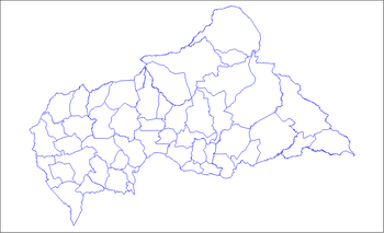
 Babou Map of the Central African Republic | |
| Coordinates: 5°47′N 14°49′E / 5.783°N 14.817°ECoordinates: 5°47′N 14°49′E / 5.783°N 14.817°E | |
| Country |
|
| Prefecture | Nana-Mambéré |
| Elevation | 713 m (2,339 ft) |
| Population | |
| • Total | 16,000 |
Baboua is a town and an administrative area (sub-prefecture) located within the prefecture of Nana-Mambéré in the Central African Republic (CAR), approximately 550 kilometres (340 mi) north-west of Bangui, the nation's capital. The town is located on the CAR's border with Cameroon, and is across the border from the Cameroonian town of Garoua-Boulaï. Baboua is home to the Evangelical Lutheran Seminary and Lutheran Bible School. Tongo Lutheran Church is also located in Baboua.[1]
Schools
In Baboua there are at least 4 levels of schooling: preschool, elementary, bible school, and seminary. Over half of the children in the town are not enrolled in school.[2]
All schools in Baboua are affiliated with the Evangelical Lutheran Church. Both Christian and Muslim students attend the schools.
At the Lutheran Bible School, students can study the Bible, human rights, agriculture, and health.[3]
Festivals
There is an annual parade in Baboua to celebrate CAR's independence from France.[2]
References
- ↑ "Harvest Offering at Tongo Lutheran Church".
- 1 2 Troester, Joe. "Celebrating 50 Years of Independence in the Central African Republic". Retrieved 9 August 2012.
- ↑ Troester, Joe. "First Bayaka (Pygmy) to Graduate from Lutheran Bible School in Central African Republic". Retrieved 9 August 2012.
