Westpointe
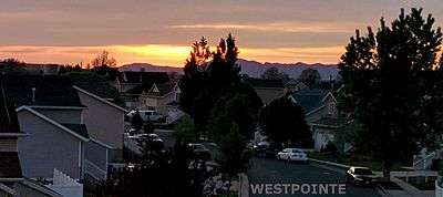
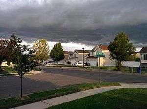
Westpointe is a neighborhood occupying the northwest portions of Salt Lake City, Utah. Westpointe includes the neighborhoods immediately adjacent to the Salt Lake City International Airport, and includes Salt Lake City's newly constructed Regional Athletic Complex, the Jordan River Off-Highway Vehicle State Recreation Area, and several parks and schools.[1][2][3]

Boundaries
The Westpointe community encompasses a large land area, including the Salt Lake City International Airport and Salt Lake City International Center, while containing a relatively small residential area. It is defined as west from Redwood Road extending to the western city limits, north of 700 North, extending north to city limits (Davis County, the Great Salt Lake and the Farmington Bay Waterfowl Management Area.)[2]
Westpointe lies north of the Jordan Meadows Community and Poplar Grove neighborhoods and west of the Rose Park neighborhoods. The area is often portrayed in the media as part of Rose Park, in fact the entire urban area west of I-15, is often referred to as Rose Park despite its actual boundaries being relatively small.
The entire neighborhood falls within the boundary of West High School, one of Utah's largest and the oldest high schools.[2][4]

Education
The Westpointe neighborhood lies within the Salt Lake City School District and contains two elementary schools: North Star Elementary and Escalante Elementary. Northwest Middle School is also located in Westpointe. Westpointe is home to the Salt Lake Community College Westpointe Campus. In 2014, SLCC received permission from the State of Utah to acquire nearby land parcels for development of a 121,000 gross square feet (GSF) technical education facility for high demand trades; by July 2015, the College had purchased seven parcels totaling 19.61 acres in the Westpointe Center Business Park.[5]
History
Much of the area was primarily agricultural prior to development in the 1980s, 90s, and early 2000s
Crime
For the last several decades, Westpointe has suffered from ambiguity regarding crime in the areas of Poplar Grove, Rose Park, and Glendale, despite being one of the lowest crime areas of the city.[citation needed] Crime reports are published online by the Salt Lake City Police Department (http://slcpd.com/community/crime-map/). Recent reports for calendar year 2015 show that Westpointe has a below-average crime rate[6]
Culture
The neighborhood is one of the most religiously and ethnically diverse areas of Utah.
Community
The neighborhood benefits from an active community council. The Westpointe Community Council is made up of an elected body of volunteers who serve the interests of Westpointe and the community. The purpose of this council is to provide community input and information to various city departments. Community councils are encouraged to make recommendations to the city on all matters affecting the city or each organization's particular community or neighborhood. Westpointe Community Council Meetings are held on the 2nd Wednesday of each month from 6:30-8pm at the Day Riverside Library (1575 W 1000 N, Salt Lake City, UT 84116)

References
- ↑ Salt Lake Community Council. "Salt Lake City Community Guide".
- 1 2 3 Salt Lake Community Council. "Salt Lake City Community Map" (PDF).
- ↑ Salt Lake City(website). "Regional Athletic Complex".
- ↑ Salt Lake City School District. "West High School Boundaries".
- ↑ Utah Division of Arts and Museums. "SALT LAKE COMMUNITY COLLEGE WESTPOINTE CAMPUS" (PDF).
- ↑ Salt Lake City Police Department. "Salt Lake City Crime Stats: CITY COUNCIL DISTRICT #1" (PDF).