Torlesse Islands
.jpg) | |
 Torlesse Islands | |
| Geography | |
|---|---|
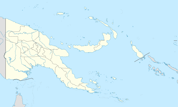
| Location | Oceania |
| Coordinates | 10°49′48″S 152°11′32″E / 10.83000°S 152.19222°ECoordinates: 10°49′48″S 152°11′32″E / 10.83000°S 152.19222°E[1] |
| Archipelago | Louisiade Archipelago |
| Adjacent bodies of water | Solomon Sea |
| Total islands | 2 inhabited |
| Major islands |
|
| Area | 2.08 km2 (0.80 sq mi) |
| Highest elevation | 31 m (102 ft) |
| Highest point | Mount Pananiu |
| Administration | |
| Province |
|
| District | Samarai-Murua District |
| LLG [2] | Louisiade Rural Local Level Government Area |
| Island Group | Torlesse Islands |
Largest settlement |
Tinolan (population ~5) |
| Demographics | |
| Demonym | Papuan people |
| Population | 10 (2014) |
| Pop. density | 4.8 /km2 (12.4 /sq mi) |
| Ethnic groups | Papauans, Austronesians, Melanesians. |
| Additional information | |
| Time zone | |
| Official website |
www |
| ISO Code = PG-MBA | |
The Torlesse Islands are an archipelago in the Solomon Sea . Politically they belong to Milne Bay Province in the southeastern region of Papua New Guinea. They are 13 km away from Misima and 5 km west of Deboyne Islands. The aggregate land area of the seven islands is 2.08 km². The main village is Tinolan.[3] it is inhabited by a family from Panaeati Island who grow Copra.
References
This article is issued from Wikipedia - version of the 11/17/2016. The text is available under the Creative Commons Attribution/Share Alike but additional terms may apply for the media files.