Springfontein
| Springfontein | |
|---|---|
|
Springfontein railway station | |
 Springfontein  Springfontein  Springfontein
| |
| Coordinates: 30°15′14″S 25°42′14″E / 30.25389°S 25.70389°ECoordinates: 30°15′14″S 25°42′14″E / 30.25389°S 25.70389°E | |
| Country | South Africa |
| Province | Free State |
| District | Xhariep |
| Municipality | Kopanong |
| Established | 1904 |
| Government | |
| • Type | Municipality |
| Area[1] | |
| • Total | 16.5 km2 (6.4 sq mi) |
| Elevation | 1,515 m (4,970 ft) |
| Population (2011)[1] | |
| • Total | 3,699 |
| • Density | 220/km2 (580/sq mi) |
| Racial makeup (2011)[1] | |
| • Black African | 75.1% |
| • Coloured | 21.1% |
| • Indian/Asian | 0.5% |
| • White | 3.1% |
| • Other | 0.1% |
| First languages (2011)[1] | |
| • Xhosa | 41.5% |
| • Afrikaans | 28.9% |
| • Sotho | 22.8% |
| • Tswana | 3.1% |
| • Other | 3.8% |
| Postal code (street) | 9917 |
| PO box | 9917 |
| Area code | 051 |
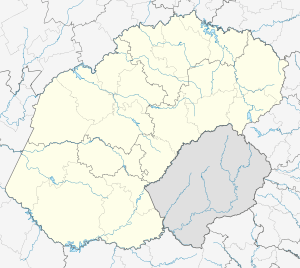
Springfontein is a small mixed farming town in the Free State province of South Africa.
The town was established in 1904 on the farm Hartleydale, which was part of the farm Springfontein. The name Springfontein, which is Afrikaans for "jumping spring", stems from the existence of a spring on the farm. A village management board was established in 1904 and the town attained municipal status in 1912.[2] Farming with sheep, cattle and maize is prevalent in the district,[3] and in the early part of the twentieth century the Springfontein Creameries were one of the main employers.[4]
The town is an important railway junction on the main line to Johannesburg, being the point where the Bloemfontein line converges with the East London and Port Elizabeth lines and where a westward line to other Free State towns commences.[3]
Anglo-Boer War
During the Second Boer War/Anglo-Boer War, there was a British concentration camp in the district. Five hundred and sixty eight people of all ages are recorded in the Springfontein Grave Register as having died there between April the fourth and the end of 1901.[5] Their graves can be seen in the concentration camp cemetery. During the war the camp was visited by Emily Hobhouse during her investigations of conditions in the camps.[3]
References
- 1 2 3 4 Sum of the Main Places Springfontein and Maphodi from Census 2011.
- ↑ Standard Encyclopedia of Southern Africa, Vol 10, p 233; Erasmus, On Route in South Africa, p 384
- 1 2 3 Free State Department of Tourism, 'Free State' (pdf), undated 200-?. Accessed via the web.
- ↑ Braby's Orange Free State Directory, 1916]
- ↑ Stanley, Liz. Mourning Become...: Post/Memory and Commemoration of the Concentration Camps of the South African War 1899-1902. Publisher: Manchester University Press, 2006. ISBN 978-0719065682
| Wikimedia Commons has media related to Springfontein. |
.svg.png)