Shilimb
| Shilimb शिलिंब | |
|---|---|
| Village | |
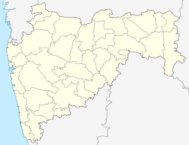 Shilimb  Shilimb Location in Maharashtra, India | |
| Coordinates: IN 18°36′17″N 73°23′39″E / 18.6045917°N 73.3941015°ECoordinates: IN 18°36′17″N 73°23′39″E / 18.6045917°N 73.3941015°E | |
| Country |
|
| State | Maharashtra |
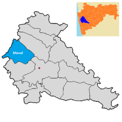
| District | Pune |
| Tehsil | Mawal |
| Government | |
| • Body | Gram panchayat |
| Languages | |
| • Official | Marathi |
| • Other spoken | Hindi |
| Time zone | IST (UTC+5:30) |
| Telephone code | 02114 |
| ISO 3166 code | IN-MH |
| Vehicle registration | MH-14 |
| Website |
maharashtra |
Shilimb (Marathi:शिलिंब) is a village in India. It is situated in the Mawal taluka of Pune District in the state of Maharashtra.
Geography
Shilimb is situated on the banks of Pavana Lake. The villages around Shilimb are Chavsar, Jovan,Pomgaon and Devghar. Talukas surrounding Shilimb are Karjat Taluka, Talegaon Dabhade Taluka, Mulshi Taluka and by Khalapur Taluka.districts closest to Shilimb are Raigad district, Thane district, Mumbai City district and Mumbai Suburban district. Nearest railway stations around Shilimb are Vadgaon railway station, Begdewadi railway station, Lonavala railway station, Talegaon railway station and Kamshet railway station. Places to visit around Shilimb are Tung Fort,Hadshi temple and Aamby Valley City.[1]
Administration and Education
The village is administrated by a sarpanch who is an elected representative of village as per the constitution of India and the Panchayati raj. The village falls under the Maval taluka, The taluka headquarters are situated at Vadgaon and is governed by a tahsildar. As per the 2011 census out of a population of 1,122 people are 632 Literate and 490 are Illiterate, Shilimb's literacy rate is 64.36 % which is lower than the average of 82.34% in the state of Maharashtra the male literacy is 71.34 % and the female literacy rate is 56.93 %, Shilimb has a government-run primary school.[2]
Demography
Shilimb village has 199 houses with a Population of 1,122 which consist of Males 577 and 545 Females, as per the 2011 census Shilimb village population of children with an age group from 0-6 is 140 which makes up 12.48 % of total population of village. Average Sex Ratio is 945 per 1000 males which is higher than the state average of 929. The child Sex Ratio is 972 higher than the average of 894 in the state of Maharashtra. As per the 2011 census the total Scheduled Castes and Scheduled Tribes population in the village is 229 people of which 74 people are Scheduled Castes and 144 people are Schedule Tribe. Shilimb has a 13.81 % population of Schedule Tribe and 6.60 % Schedule Caste.[3]
Villages in Mawal taluka
Maval is a Taluka part of the Pune District in the state of Maharashtra India. It is located 85 km from Mumbai and 54 km from Pune.[4]
References
- ↑ "Shilimb location". google.co.in. Retrieved 2016-11-08.
- ↑ "Shilimb". censusindia.gov.in. Retrieved 2016-11-08.
- ↑ "Shilimb village". census2011.co.in. Retrieved 2016-11-08.
- ↑ "Villages in Mawal taluka". villageinfo.in.