Serpentine River (Tasmania)
This article is about the Serpentine River in Tasmania. For other uses, see Serpentine River.
| Serpentine | |
| River | |
| Country | Australia |
|---|---|
| State | Tasmania |
| Regions | South-west, Western |
| Part of | Gordon-Franklin catchment |
| Landmark | Gordon Splits |
| Source | Wilmont Range |
| - location | Lake Pedder |
| - elevation | 313 m (1,027 ft) |
| - coordinates | 42°56′S 146°7′E / 42.933°S 146.117°E |
| Mouth | Gordon River |
| - location | Gordon Splits |
| - elevation | 122 m (400 ft) |
| - coordinates | 42°44′53″S 145°57′39″E / 42.74806°S 145.96083°ECoordinates: 42°44′53″S 145°57′39″E / 42.74806°S 145.96083°E |
| Length | 26 km (16 mi) |
| Reservoir | Lake Pedder |
| National park | Southwest National Park |
| [1] | |
The Serpentine River is a major perennial river located in the south-west and western regions of Tasmania, Australia.
Course and features
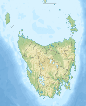
The Serpentine River rises in what in now known as Lake Pedder below the Wilmont and Frankland ranges, and flows generally north by northwest, joined by one minor tributary. The river is impounded by the Serpentine Dam, one of three dams that create Lake Pedder, and then flows towards the Gordon Splits where it reaches its confluence with the Gordon River.[2]
See also
References
- ↑ "Map of Serpentine River, TAS". Bonzle Digital Atlas of Australia. 2015. Retrieved 30 June 2015.
- ↑ Flanagan, Richard (1985). A terrible beauty: history of the Gordon River country. Richmond, Vic.: Greenhouse. ISBN 0-86436-001-0.
Further reading
- Gee, H.; Fenton, J., eds. (1978). The South West Book - A Tasmanian Wilderness. Melbourne: Australian Conservation Foundation. ISBN 0-85802-054-8.
- Kerr, Garry; McDermott, Hary (2000). The Huon Pine Story (The History of Harvest and Use of a unique Timber. Portland, Victoria: Mainsail Books. ISBN 0-9577917-0-4.
- Lines, William J. (2006). Patriots : defending Australia's natural heritage. St. Lucia, Qld.: University of Queensland Press. ISBN 0-7022-3554-7.
- Neilson, D. (1975). South West Tasmania - A land of the Wild. Adelaide: Rigby. ISBN 0-85179-874-8.
This article is issued from Wikipedia - version of the 6/21/2016. The text is available under the Creative Commons Attribution/Share Alike but additional terms may apply for the media files.
