Schildenstein
Coordinates: 47°36′N 11°44′E / 47.600°N 11.733°E
| Schildenstein | |
|---|---|
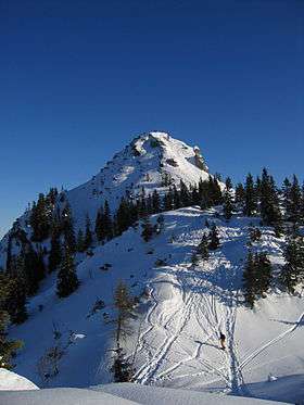 Schildenstein in Winter | |
| Highest point | |
| Elevation | 1,613 m (5,292 ft) |
| Geography | |
| Location | Bavaria, Germany |
| Parent range | Bavarian Prealps (Mangfall Mountains) |
| Climbing | |
| Easiest route | Wildbad Kreuth – Geißalm - Königsalm - Schildenstein |
The Schildenstein is a 1613 m high mountain in the Mangfall Mountains in Bavaria. The peak can be reached after an easy hike from Kreuth over the Geißalm and Königsalm. The route via the Wolfsschlucht, on the other hand, is made secure by wire cables. The Blauberge are connected to the East side of the Schildenstein.
The Kavalierhaus on the Königsalm was built in 1818 by the King of Bavaria, Maximilian I. The king was said to have frequented the Alpine pasture. The wooden structure nearby dates from 1723, and is the largest historic alpine hut in the Miesbach district.
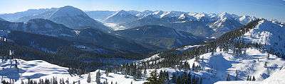
Schildenstein peak panorama in Winter. The Guffert is on the left of the picture.
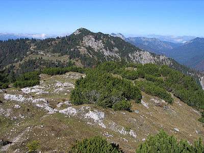
Schildenstein from the East
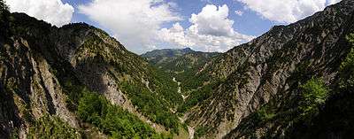
View into the Wolfsschlucht
External links
This article is issued from Wikipedia - version of the 7/18/2016. The text is available under the Creative Commons Attribution/Share Alike but additional terms may apply for the media files.