Rosebud Battlefield State Park
|
Rosebud Battlefield--Where the Girl Saved Her Brother | |
|
Site sign, 2003 | |
  | |
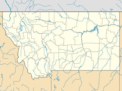
| Location | Big Horn County, Montana |
|---|---|
| Nearest city | Busby, Montana |
| Coordinates | 45°13′50″N 106°59′52″W / 45.23056°N 106.99778°WCoordinates: 45°13′50″N 106°59′52″W / 45.23056°N 106.99778°W |
| Area | 4,220 acres (17.1 km2)[1] |
| Built | 1876 |
| NRHP Reference # | 72000735 |
| Significant dates | |
| Added to NRHP | August 21, 1972[2] |
| Designated NHL | August 19, 2008[3] |
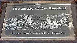
Rosebud Battlefield State Park, or Rosebud Battlefield-Where the Girl Saved Her Brother is the site of the Battle of the Rosebud. The battle, known also as Crook's Fight on the Rosebud or Battle of Rosebud Creek, was fought on June 17, 1876.
Located in Big Horn County, Montana, the site was listed on the National Register of Historic Places in 1972.[2] In 2008, it was designated a National Historic Landmark.[1][3]
The undeveloped park offers hiking, hunting, picnicking and wildlife viewing. It is located 11 miles (18 km) south of Kirby, Montana on MT 314.[1]
References
- 1 2 3 Jerome A. Greene; Michel Olsen; Paul Fees (July 7, 2003). "National Historic Landmark Nomination: Rosebud Battlefield / Where the Girl Saved Her Brother / Crook's Fight on the Rosebud; Battle of Rosebud Creek; Battle of the Rosebud Site" (pdf). National Park Service. and "Accompanying map" (PDF). (32 KB)
- 1 2 National Park Service (2009-03-13). "National Register Information System". National Register of Historic Places. National Park Service.
- 1 2 "Rosebud Battlefield/Where the Girl Saved Her Brother". National Historic Landmark summary listing. National Park Service. Retrieved 2009-04-06.
External links
- Rosebud Battlefield State Park Montana Fish, Wildlife & Parks
This article is issued from Wikipedia - version of the 11/28/2016. The text is available under the Creative Commons Attribution/Share Alike but additional terms may apply for the media files.
