Pensacola Pass
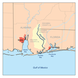
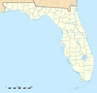
Pensacola Pass, separating mainland Florida from Santa Rosa Island, is the mouth of Pensacola Bay.[1] Pensacola Pass forms a water passage that connects Pensacola Bay with the Gulf of Mexico to the south, in the U.S. state of Florida, east of the Alabama/Florida state line. The surrounding area is heavily developed, with high-rise condominiums. However, there are nearby beach-front parks, with Fort Pickens on the eastern side of Pensacola Pass.
Description
Pensacola Pass is the name of the waterway connecting the Gulf to Pensacola Bay. Ships and boats use this passage to travel between the two. During the daily flood tide, fresh saltwater enters Pensacola Pass from the Gulf of Mexico; waters are pulled out on the ebb tide, flushing the bay.
2010 Gulf oil spill
Following the Deepwater Horizon oil spill (called the "Gulf oil spill"), the entrance to Pensacola Pass was closed,[2] with a floating barrier system in June 2010, to control tidal flow of oil entering from the Gulf of Mexico. The daily high tide was causing oil-contaminated water to enter Pensacola Bay. The barrier system was to be designed to allow boats to travel through Pensacola Pass during the ebb tide, but to close during the rising tide.
Although this was the initial plan, the booming plan was never fully implemented. Due to strong currents in the Pass, the boom broke. There was no alternative system in place in areas of less current, nor was there a plan to trap incoming oil, therefore oil product freely entered the Pass.[3]
References
Coordinates: 30°19′41″N 87°18′29″W / 30.328°N 87.308°W

