Nybster

Coordinates: 58°33′21″N 3°05′17″W / 58.555836°N 3.08802°W
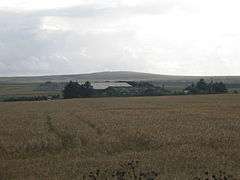
Nybster is a scattered rural and crofting township, situated in Caithness and is in the Scottish council area of Highland. It is located along the A9 road, 0.5 miles (0.80 km) north of Auckengill and 7 miles (11 km) south of John O' Groats.[1]
It is the location of the Nybster Broch, first excavated by Sir Francis Tress Barry in about 1900.[2] A broch is an Iron Age building that is unique to Scotland. This one was probably built between about 200 BC and 200 AD and re-used during the Pictish period (AD 300 - 800). The Caithness Broch Centre nearby provides an opportunity to learn more about the communities that lived in the brochs, those who excavated them and the communities who are still involved with them today.
References
- ↑ Murphy, Alan (10 April 2014). Scotland Highlands & Islands Footprint Handbook. Footprint Travel Guides. p. 264. ISBN 978-1-909268-62-3.
- ↑ Proceedings of the ... Viking Congress. Oliver and Boyd. 1950. p. 35. ISBN 978-0-7486-0430-2.