National Highway 6 (Djibouti)
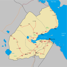
Map of Djibouti national highway
National Highway 6 is a national highway in southwestern Djibouti. The highway begins at 11°06′32″N 42°20′47″E / 11.10889°N 42.34639°E, at a junction with National Highway 1 near Dikhil. It passes through the town of As Eyla and ends at the village of Kouta Bouyya (11°00′55″N 41°58′37″E / 11.01528°N 41.97694°E).
This article is issued from Wikipedia - version of the 5/15/2016. The text is available under the Creative Commons Attribution/Share Alike but additional terms may apply for the media files.