Mupliyam
| Mupliyam മുപ്ലിയം | |
|---|---|
| village | |
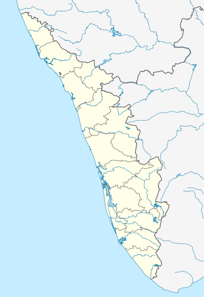 Mupliyam Location in Kerala, India | |
| Coordinates: 10°24′0″N 76°20′30″E / 10.40000°N 76.34167°ECoordinates: 10°24′0″N 76°20′30″E / 10.40000°N 76.34167°E | |
| Country |
|
| State | Kerala |
| District | Thrissur |
| Languages | |
| • Official | Malayalam, English |
| Time zone | IST (UTC+5:30) |
| PIN | 680312 |
| Vehicle registration | KL- |
| Nearest city | Thrissur |
| Lok Sabha constituency | Thrissur |
Mupliyam is a small village in Thrissur district of Kerala state, south India. It is located 9 km away from National Highway 47 from Pudukad which is 13 km from Thrissur town. Mupliyam comes under Chalakudy Taluk and Varandarappilly Panchayath. The river which passes through Mupliyam becomes Kurumali puzha.There were many Monk caves (Muniyara) in the northeast part of Mupliyam and now one of its remains. This is an area (hill) is known as Muniyattukkunnu. Still, there is one Cave is existing in that hill and it is under the archeological department of India. India.[1] [2]
Schools
- Govt Higher Secondary School
- Vimal Jyothy School
Churches
- Assumption Church, Mupliyam
Temples
- Madapplilli Kaavu Temple
- Muthumala Sree Subramanya Swami Temple
- Panchamoorthy temple
- Kalleli sree dharma sastha temple, Pidikkaparamb
- Mahavishnu temple, Pidikkaparamb
Bank
- South Indian Bank
- Inchakundu service cooperative bank Ph 0480 2780212,0480 2780084
Government Offices
- Village Office Mupliyam.
- Post Office Mupliyam
Primary Health Centers
- Mupliyam Government Primary Health center .
- Mupliyam Government Homeo Dispensary .
References
- ↑ "Census of India : Villages with population 5000 & above". Retrieved 2008-12-10.
|first1=missing|last1=in Authors list (help) - ↑ "Districts and Village committee.". Kerala. Study channel of India. Retrieved 2009-10-19.
This article is issued from Wikipedia - version of the 12/4/2016. The text is available under the Creative Commons Attribution/Share Alike but additional terms may apply for the media files.