Mount Bris
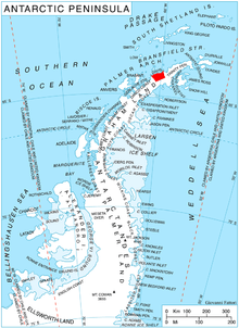
Mount Bris (63°59′S 59°50′W / 63.983°S 59.833°WCoordinates: 63°59′S 59°50′W / 63.983°S 59.833°W) is a broad ice-covered mountain with precipitous and partly ice-free slopes except to the southeast, the summit of Korten Ridge on Davis Coast in Graham Land, Antarctica. The peak rises to 1,673 metres (5,490 ft) 1 nautical mile (2 km) west of the head of Sabine Glacier and 11 nautical miles (20 km) south of Cape Kater. It is linked to Tsarevets Buttress and Detroit Plateau by Podvis Col to the southeast, and surmounting Sabine Glacier to the northeast, Temple Glacier to the southwest, and Kasabova Glacier to the northwest.
The peak was named by the UK Antarctic Place-Names Committee for Jean-Marie Le Bris, French naval officer who designed a glider and became the first glider pilot.
Map
- Trinity Peninsula. Scale 1:250000 topographic map No. 5697. Institut für Angewandte Geodäsie and British Antarctic Survey, 1996.
References
- Mount Bris. SCAR Composite Antarctic Gazetteer.
-
 This article incorporates public domain material from the United States Geological Survey document "Bris, Mount" (content from the Geographic Names Information System).