Mount Benson (Antarctica)
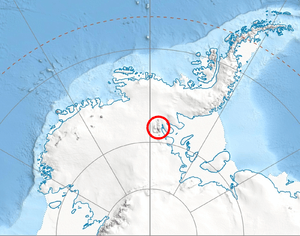
Location of Sentinel Range in Western Antarctica.
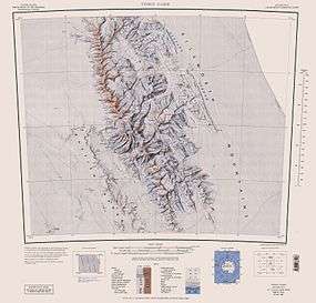
Sentinel Range map.
Mount Benson (78°36′23″S 84°31′51″W / 78.60639°S 84.53083°WCoordinates: 78°36′23″S 84°31′51″W / 78.60639°S 84.53083°W) is a mountain (2,270 m) standing at the northeast side of Thomas Glacier and west of Obelya Glacier, 4.6 mi east of Mount Osborne, in Doyran Heights, southeastern Sentinel Range in Ellsworth Mountains, Antarctica. It was mapped by the USGS from surveys and USN air photos, 1957-59. It was named by the US-ACAN for Robert F. Benson, seismologist at the IGY South Pole Station in 1957.
Maps
- Vinson Massif. Scale 1:250 000 topographic map. Reston, Virginia: US Geological Survey, 1988.
References
![]() This article incorporates public domain material from the United States Geological Survey document "Mount Benson (Antarctica)" (content from the Geographic Names Information System).
This article incorporates public domain material from the United States Geological Survey document "Mount Benson (Antarctica)" (content from the Geographic Names Information System).
This article is issued from Wikipedia - version of the 11/12/2015. The text is available under the Creative Commons Attribution/Share Alike but additional terms may apply for the media files.