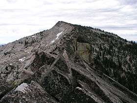
McConnell Peak
| McConnell Peak | |
|---|---|
 | |
| Highest point | |
| Elevation | 9,103 ft (2,775 m) NAVD 88[1] |
| Prominence | 19 ft (5.8 m) [1] |
| Listing | Tahoe OGUL Peak List[2] |
| Coordinates | 38°56′55″N 120°14′35″W / 38.9485185°N 120.2429683°WCoordinates: 38°56′55″N 120°14′35″W / 38.9485185°N 120.2429683°W [3] |
| Geography | |
 McConnell Peak 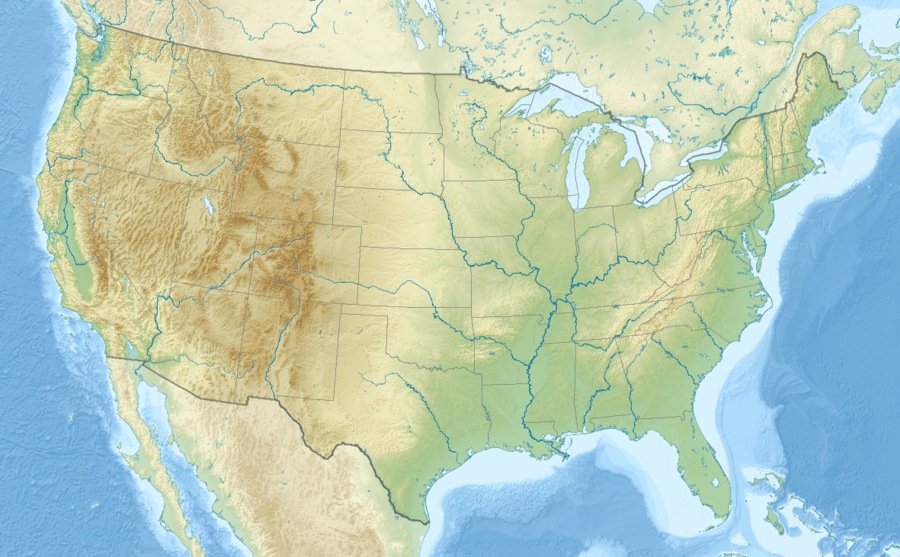 McConnell Peak
| |
| Location | El Dorado County, California, U.S. |
| Parent range | Sierra Nevada |
| Topo map | USGS Rockbound Valley |
| Climbing | |
| Easiest route | Scramble, class 2[2] |
McConnell Peak is a mountain in the Sierra Nevada mountain range at the north end of the Crystal Mountains, to the west of Lake Tahoe. It is located in the Desolation Wilderness in El Dorado County, California.
References
- 1 2 "McConnell Peak, California". Peakbagger.com. Retrieved 2009-08-08.
- 1 2 "Tahoe-Ogul Peaks List". Retrieved 2012-12-23.
- ↑ "McConnell Peak". Geographic Names Information System. United States Geological Survey. Retrieved 2009-08-03.
This article is issued from Wikipedia - version of the 8/5/2016. The text is available under the Creative Commons Attribution/Share Alike but additional terms may apply for the media files.