Little Churchill River
| Little Churchill River | |
| Country | Canada |
|---|---|
| Province | Manitoba |
| Region | Northern |
| Part of | Hudson Bay drainage basin |
| Source | Waskaiowaka Lake |
| - elevation | 208 m (682 ft) |
| - coordinates | 56°35′02″N 96°15′42″W / 56.58389°N 96.26167°W |
| Mouth | Churchill River |
| - elevation | 135 m (443 ft) |
| - coordinates | 57°30′20″N 95°21′30″W / 57.50556°N 95.35833°WCoordinates: 57°30′20″N 95°21′30″W / 57.50556°N 95.35833°W |
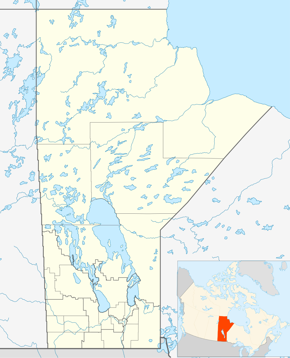 Location of the mouth of the Little Churchill River in Manitoba | |
The Little Churchill River is a river in the Hudson Bay drainage basin in Northern Manitoba, Canada.[1] Its flows Waskaiowaka Lake to the Churchill River.[2]
The Little Churchill River/Dunlop's Fly In Lodge Aerodrome is located on Waskaiowaka Lake at the point where the Little Churchill River leaves the lake.
See also
References
- ↑ "Little Churchill River". Geographical Names Data Base. Natural Resources Canada. Retrieved 2012-07-02.
- ↑ "Little Churchill River". Atlas of Canada. Natural Resources Canada. 2010-02-04. Retrieved 2012-02-28. Shows the course of the river on a topographic map.
This article is issued from Wikipedia - version of the 3/30/2016. The text is available under the Creative Commons Attribution/Share Alike but additional terms may apply for the media files.