Kurisumuttom
This article is about a village in Thiruvananthapuram district. For the village in Pathanamthitta district with same name, see Kurisumuttom, Pathanamthitta.
| Kurisumuttom കുരിശുമുട്ടം | |
|---|---|
| Village | |
 Kurisumuttom  Kurisumuttom | |
| Coordinates: 08°30′27″N 77°0′46″E / 8.50750°N 77.01278°ECoordinates: 08°30′27″N 77°0′46″E / 8.50750°N 77.01278°E | |
| Country |
|
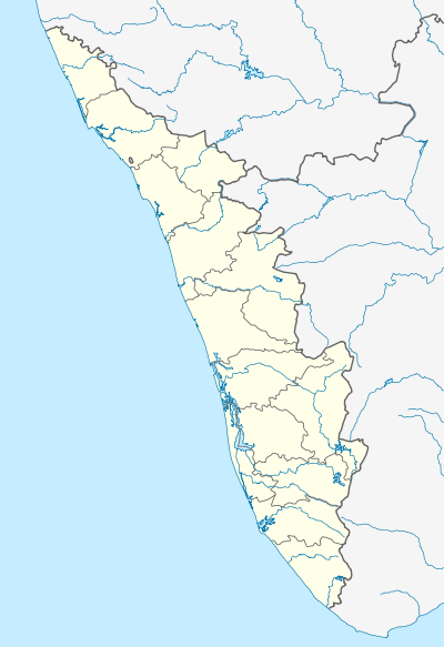
| State | Kerala |
| District | Thiruvananthapuram |
| Government | |
| • Body | Gram panchayat |
| • Member of Parliament | Shashi Tharoor (Lok Sabha) |
| Languages | |
| • Official | Malayalam · English |
| • Spoken languages | Malayalam(മലയാളം) · English |
| Time zone | IST (UTC+5:30) |
| PIN | 695 XXX |
| Telephone code | 91 (0)471 |
| Vehicle registration | KL-01,KL-22 |
| Sex ratio | 1064 ♂/♀ |
| Literacy | 93.72% |
| Distance from Mumbai | 1,543 kilometres (959 mi) NW (land) |
| Distance from Delhi | 2,814 kilometres (1,749 mi) N (land) |
| Climate | Am/Aw (Köppen) |
| Precipitation | 1,700 millimetres (67 in) |
| Avg. annual temperature | 27.2 °C (81.0 °F) |
| Avg. summer temperature | 35 °C (95 °F) |
| Avg. winter temperature | 24.4 °C (75.9 °F) |
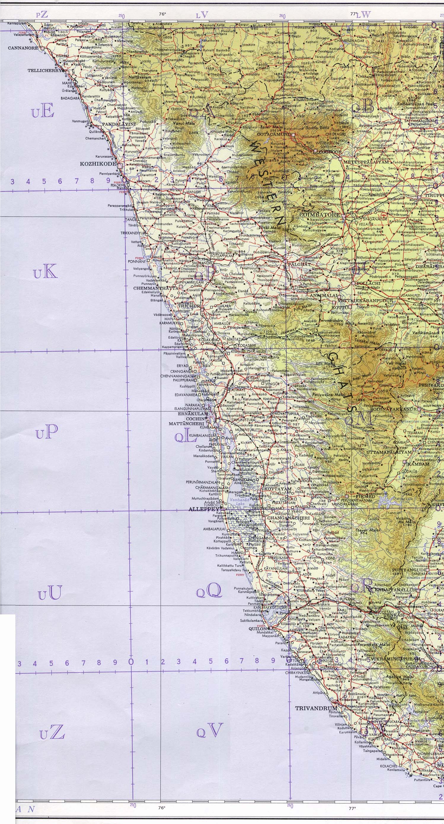
Kurisumuttom (കുരിശുമുട്ടം) (also spelled Kurismuttam[1]) is a village near Peyad in the Thiruvananthapuram district of Kerala state, India.[2] The place is situated in the Vilavoorkal Panchayat. It is situated in Thiruvananthapuram - Kattakkada road, between Thirumala and Malayinkeezhu.[3] It is 11 Kilometers away from Thiruvananthapuram city. Kurismuttam is under the Peyad Post Office area.[2]
Nearby places
- St. Xaviers HSS, Peyad
- Kundamanbhagom
- Sky City
- Bharathiya Vidya Bhavan Senior Secondary School
- Jai Nagar, Thirumala
- Guru Gopinath Natanagramam
- Abraham Memorial Higher Secondary School (AMHSS), Thirumala
- Nandanam Hills
- Laurie Baker Centre for Habitat Studies (LBC)
- PEYAD Junction (Commercial Centre)
References
External links
This article is issued from Wikipedia - version of the 10/20/2016. The text is available under the Creative Commons Attribution/Share Alike but additional terms may apply for the media files.