Kulgachia
| Kulgachia | |
|---|---|
| town | |
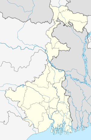 Kulgachia Location in West Bengal, India | |
| Coordinates: 22°28′N 88°00′E / 22.46°N 88.00°ECoordinates: 22°28′N 88°00′E / 22.46°N 88.00°E | |
| Country |
|
| State | West Bengal |
| District | Howrah |
| Elevation | 4 m (13 ft) |
| Population (2001) | |
| • Total | 149,249 |
| Languages | |
| • Official | Bengali, English |
| Time zone | IST (UTC+5:30) |
Kulgachia is a small town Panchayet of Howrah district in the state West Bengal, India. The rail station located at the center of the town is only 40 km from howrah station and NH6 is only about 500 meter from the station area. Over the last five years it has been changed, developed and grown drastically to a town from village life though it is under panchayet raj administrative system yet. Populations are dramatically increased here now a days due to the good communication with Kolkata, Kharagpur and other econmically important parts of the state West Begal.
Infrastructure
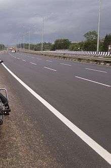
Notable transportation networks include the Southeastern Indian railway, NH6, and Damodar. The Orissa Trunk Road is the main road and passes through the heart of the town. It connects to National Highway No-6, the Bombay Road.
Kulgachia has a railroad station.
Beside the station area there are two markets popularly known as Kulgachia super market and Ramkrisha market.Both of the markets rich with different types of shop including a number of pharmacies. Chndipur sasthya kendra popularly known as chandipur hospital is only 1.5 km from station. Currently there are a number of new apartment complexes are raising among them Shiuli Apartment was the first constructed in 2007 behind the Rathghar auto stand.
Geography
Kulgachia is located in the most southeastern part of India.[1] With an average elevation of 4 m (13 ft). It is situated close to the River Hooghly. T
As it is an unplanned Panchayet town right now and has been known to suffer from drainage problems during periods of heavy rain. Other persistent issues are erosion caused by the Damodar river and encroachment.
Demographics
The Kulgachia area is estimated to have a population of 10,987,778.
Bus Routes
Kulgachia-Srirampur
Bagnan-Burdwan
Bagnan-Science City
Bagnan-Park Circus
Bagnan- Sinthi More
Bakshi-Howrah
Ghatal-Howrah
Chandrakona Road-Howrah
Bagnan-Salt Lake
Bagnan-Sealdah
Bagnan-Ruby Hospital
Shyambazar-Bagnan
Colleges
OM DAYAL group of institutions , college of engineering & school of architecture.
Vivekananda Ramkrishna Mission BEd College
Schools
Ideal Public School
Srikrishnapur Chittaranjan High School
Pirpur JUC Institute
Joargori High School
Netaji Balika vidyalaya
Kamina High School
KG Schools
Shishu Siksha Niketan
Childrens Academy
Ankur
Vivekananda KG School
References
- ↑ "Kulgachi". Falling Rain Genomics, Inc. 1996-2010. Retrieved 18 December 2012.
Cities, towns and locations in Howrah District | |
|---|---|
| Cities, municipal and census towns | |
| Locations other than cities and towns | |
| Related topics |
|