Jebel Zem-Zem
| Jebel Zem-Zem جبل زمزم | |
|---|---|
 Jebel Zem-Zem | |
| Highest point | |
| Elevation | 435 m (1,427 ft) |
| Coordinates | 35°44′N 05°21′W / 35.733°N 5.350°WCoordinates: 35°44′N 05°21′W / 35.733°N 5.350°W |
| Geography | |
| Location | Morocco |
| Parent range | Atlas Mountains |
| Climbing | |
| First ascent | Unknown |
| Easiest route | From M'diq or Fnideq |
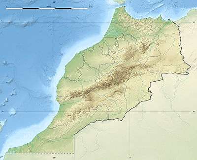
Jebel Zem-Zem (Spanish: Monte Sem-Sem) is the name given to a mountain located north of M'diq below Fnideq in northern Morocco below the Spanish enclave of Ceuta. It is two miles south west of the tourist resort Punta Restinga on the eastern coast. On its northern lower slopes lies an abandoned and ruined fort called Fortín Negrón.[1]
References
- ↑ Morocco – Punta Almina to Oued Kiss, accessed November 2012
External links
 Media related to Jebel Zem-Zem at Wikimedia Commons
- Colonialismo y transformación del paisaje en el litoral tetuaní: aportación del análisis histórico a la comprensión de los problemas ambientales actuales
This article is issued from Wikipedia - version of the 12/30/2015. The text is available under the Creative Commons Attribution/Share Alike but additional terms may apply for the media files.