Isebania, Tanzania
| Isebania, Tanzania Isibania | |
|---|---|
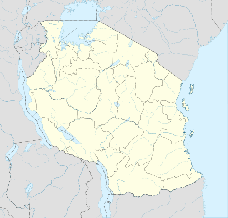 Isebania, Tanzania Location in Tanzania | |
| Coordinates: 01°14′44″S 34°28′32″E / 1.24556°S 34.47556°ECoordinates: 01°14′44″S 34°28′32″E / 1.24556°S 34.47556°E | |
| Country |
|
| Region | Kilimanjaro Region |
| District | Tarime District |
| Elevation | 1,522 m (4,993 ft) |
| Time zone | East Africa Time (UTC+3) |
Isebania, also Isibania, is a town in Tarime District, Kilimanjaro Region, in northern Tanzania, at the border with Kenya.
Location
The town sits at the border, directly south of the town of Isebania, Kenya. It lies approximately 20 kilometres (12 mi) north of Tarime, the location of the district headquarters.[1] This lies approximately 92 kilometres (57 mi) northeast of Musoma, on the eastern shores of Lake Victoria, the nearest large town.[2] The coordinates of the town are: 1°14'44.0"S, 34°28'32.0"E (Latitude:-1.245569; Longitude:34.475555).[3]
Overview
The elevation of Isebania, Tanzania is 1,522 metres (4,993 ft) above sea level.[4]
See also
References
- ↑ GFC (2 April 2016). "Distance between Isebania, Tanzania and Tarime, Mara, Tanzania". Globefeed.com (GFC). Retrieved 2 April 2016.
- ↑ GFC (2 April 2016). "Distance between Isebania, Tanzania and Musoma, Mara, Tanzania". Globefeed.com (GFC). Retrieved 2 April 2016.
- ↑ Google (2 April 2016). "Location of Isebania, Tarime District, Mara Region, Tanzania" (Map). Google Maps. Google. Retrieved 2 April 2016.
- ↑ FMN (April 2016). "Elevation of Isebania,Tanzania Elevation Map". Floodmap.net (FMN). Retrieved April 2016. Check date values in:
|access-date=(help)
External links
This article is issued from Wikipedia - version of the 4/11/2016. The text is available under the Creative Commons Attribution/Share Alike but additional terms may apply for the media files.