Inhaca Airport
| Inhaca Airport | |||||||||||||||
|---|---|---|---|---|---|---|---|---|---|---|---|---|---|---|---|
| IATA: IHC[1] – ICAO: FQIA | |||||||||||||||
| Summary | |||||||||||||||
| Airport type | Public | ||||||||||||||
| Serves | Inhaca, Mozambique | ||||||||||||||
| Elevation AMSL | 8 ft / 2 m | ||||||||||||||
| Coordinates | 25°59′52″S 032°55′45″E / 25.99778°S 32.92917°E | ||||||||||||||
| Map | |||||||||||||||
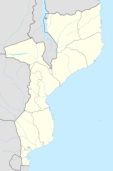
 IHC Location of airport in Mozambique | |||||||||||||||
| Runways | |||||||||||||||
| |||||||||||||||
Inhaca Airport (IATA: IHC, ICAO: FQIA) is an airport near Inhaca, a town on Inhaca Island, in the Maputo Province in Mozambique.[2] It is located across Maputo Bay from the country's capital city of Maputo. There are scheduled flights in the airport but many airlines come here from South Africa.
Scheduled services
| Airlines | Destinations |
|---|---|
| Transairways | Maputo |
Facilities
The airport resides at an elevation of 8 feet (2 m) above mean sea level. It has one runway which is 650 metres (2,133 ft) in length.[2]
References
- ↑ "Airline and Airport Code Search". IATA. Retrieved 19 November 2015.
- 1 2 3 Airport information for Inhaca, Mozambique (FQIA) at Great Circle Mapper.
- ↑ Google Maps - Inhaca
External links
This article is issued from Wikipedia - version of the 11/27/2016. The text is available under the Creative Commons Attribution/Share Alike but additional terms may apply for the media files.