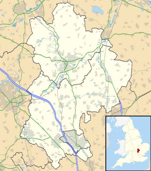
Hockwell Ring
| Hockwell Ring | |
 Hockwell Ring |
|
| Population | 4,000 (est.) |
|---|---|
| OS grid reference | TL0523 |
| Unitary authority | Luton |
| Ceremonial county | Bedfordshire |
| Region | East |
| Country | England |
| Sovereign state | United Kingdom |
| Post town | LUTON |
| Postcode district | LU4 |
| Dialling code | 01582 |
| Police | Bedfordshire |
| Fire | Bedfordshire and Luton |
| Ambulance | East of England |
| EU Parliament | East of England |
| UK Parliament | Luton North |
|
|
Coordinates: 51°54′14″N 0°28′30″W / 51.904°N 0.475°W
Hockwell Ring is a 1950s and 1960s built council estate in the Leagrave area of Luton, Bedfordshire. The estate was built as part of the post-war expansion of Luton, at a similar time to Marsh Farm. Hockwell Ring is not a particularly large estate. The area ties into much of the neighbouring 1930’s developments and is reasonably well connected to the rest of the town.

The estate is dominated by 4 large towers, which are of similar design, 14 stories high, and top out at 44.20 m each, these can be seen clearly from the M1 motorway southbound carriageway just before Junction 11, which passes close to the estate.
The tower blocks were constructed in 1965 – 1966, at roughly the same time as the rest of the estate and are typical examples of the British approach to 1960s high-rise living. They dominate the skyline of that part of the town, and along with the towers in Marsh Farm and the town centre are the tallest buildings in the town and county. At the centre of the estate is a small shopping centre, park, and other facilities, doctors dentist etc. The tower blocks are currently undergoing some refurbishment to the exterior.
Like many other estates of the 1960s Hockwell Ring was seen as a vision for the future, however by the 1990s the reality was very different. House prices in the area had fallen dramatically and the estate had developed a very real image problem. However in more recent times with an influx of London commuters to the area house prices have risen and the estate is seeing some improvements.

Local Schools and Education
- Leagrave Primary School, Strangers Way
- Beechwood Primary School, Linden Road
- Moorlands School, Leagrave Hall
- Lealands High School, Sundon Park Road
- Leagrave Library, Marsh Road
- Gill Blowers Nursery School. Mossdale Court
- Pirton hill primary school,butely road
Politics
Hockwell Ring falls into the Leagrave ward is represented by Cllr Derrick Patten (Labour), Cllr Sheila Roden (Labour) and Cllr Desline Stewart (Labour).
The ward forms part of the parliamentary constituency of Luton North, and the MP is Kelvin Hopkins (Labour). Leagrave is within the East of England (European Parliament constituency).
Local Attractions
| Key | |
| | Abbey/Priory/Cathedral |
| | Accessible open space |
| | Amusement/Theme Park |
| | Castle |
| | Country Park |
| | English Heritage |
| | Forestry Commission |
| | Heritage railway |
| | Historic House |
| | Museum (free/not free) |
| | National Trust |
| | Theatre |
| | Zoo |
Local Newspapers
Two weekly newspapers are delivered free to all the houses in the area. However they are not specific to Hockwell Ring. They are:
- Herald and Post - Delivered every Thursday
- Luton on Sunday- Delivered every Sunday