Grains o' th' Beck Meadows
| Grains o' th' Beck Meadows | |
| Site of Special Scientific Interest | |
| Country | England |
|---|---|
| Region | North East |
| District | Teesdale |
| Location | NY872209 |
| - coordinates | GB-ENG 54°35′1″N 2°11′56″W / 54.58361°N 2.19889°WCoordinates: GB-ENG 54°35′1″N 2°11′56″W / 54.58361°N 2.19889°W |
| Area | 12.3 ha (30.4 acres) |
| Notification | 1989 |
| Management | Natural England |
| Area of Search | County Durham |
| Interest | Biological |
.png) Location of Grains o' th' Beck Meadows SSSI, Co Durham | |
| Website: Map of site | |
Grains o' th' Beck Meadows is a Site of Special Scientific Interest in the Teesdale district of south-west County Durham, England. It consists of three traditionally-managed hay meadows in Upper Lunedale, on the north bank of the River Lune, a little under 6 km upstream of the Selset Reservoir dam. The site is enclosed by the Lune Forest SSSI.
The site is important as preserving a rich assemblage of plant species, including some that are locally rare, in a habitat that is widely threatened by intensive agricultural practices.
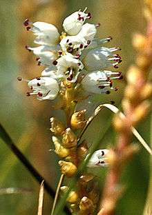
Each of the fields includes areas that are regularly cut for hay, steep banks that are left uncut, and areas of impeded drainage, which together contain a diversity of species. Alpine bistort, Polygonum viviparum, which is rare in the Pennines, is found on the steep banks, and marsh-marigold, Caltha palustris, is abundant in the wetter patches.[1]
References
- ↑ "Grains o' th' Beck Meadows" (PDF). English Nature. 1989. Retrieved 21 July 2010.