Gbadolite Airport
| Gbadolite Airport Aéroport de Gbadolite | |||||||||||
|---|---|---|---|---|---|---|---|---|---|---|---|
 Gbadolite airport reception hall | |||||||||||
| IATA: BDT – ICAO: FZFD | |||||||||||
| Summary | |||||||||||
| Airport type | Public | ||||||||||
| Location | Gbadolite, DR Congo | ||||||||||
| Elevation AMSL | 1,509 ft / 460 m | ||||||||||
| Coordinates | 04°15′12″N 020°58′31″E / 4.25333°N 20.97528°E | ||||||||||
| Map | |||||||||||
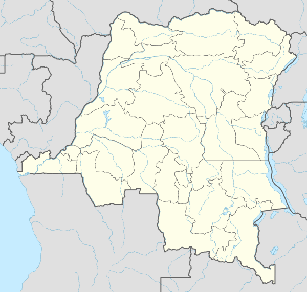
 Gbadolite Location in the Democratic Republic of the Congo | |||||||||||
| Runways | |||||||||||
| |||||||||||
Gbadolite Airport (French: Aéroport de Gbadolite) (IATA: BDT, ICAO: FZFD) is an airport serving Gbadolite,[1] the capital of the Nord-Ubangi District in the Democratic Republic of the Congo. The airport is at the village of Moanda, 6 kilometres (3.7 mi) southwest of Gbadolite.
Facilities
The airport is 1,509 feet (460 m) above mean sea level. It has one runway designated 07/25 with an asphalt surface 3,200 by 60 metres (10,499 ft × 197 ft) long,[1] built this long to accommodate Mobutu Sese Seko's chartered Air France Concorde.[3]
-
.jpg)
Airport Gbadolite
References
- 1 2 3 Airport information for FZFD from DAFIF (effective October 2006)
- ↑ Airport information for BDT at Great Circle Mapper. Source: DAFIF (effective October 2006).
- ↑ Shaw, Karl (2005) [2004]. Power Mad! [Šílenství mocných] (in Czech). Praha: Metafora. ISBN 80-7359-002-6.
External links
This article is issued from Wikipedia - version of the 11/27/2016. The text is available under the Creative Commons Attribution/Share Alike but additional terms may apply for the media files.