Fizi Territory
| Fizi | |
|---|---|
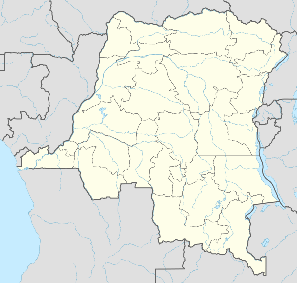
 Fizi Location in Democratic Republic of the Congo | |
| Coordinates: 4°18′4″S 28°56′39″E / 4.30111°S 28.94417°E | |
| Country |
|
| Admin. division | Sud-Kivu |
| Government | |
| • Territory Administrator | M. Mulenge Ayunwe Kibalo |
| Area | |
| • Total | 41,745 km2 (16,118 sq mi) |
| Population | |
| • Total | 405,255 |
| National language | Swahili |
| Climate | Aw |
Fizi is a territory in the South of Sud-Kivu Province, Democratic Republic of the Congo, bordering the South Kivu territories of Uvira, Mwenga and Shabunda to the North, Lake Tanganyika in the East, and the provinces Katanga in the South and Maniema in the West.
The predominant language in the territory is Kibembe.Some villages of Fizi are: Makobola, Kahama, Aseeci, Kwa Munene, Ilakala, Swima, Ake I, Ake II, Abeka, Mukwezi, Musenya, Atongo, Abûmbe, Ilela, Mgûle, Abondoki, Mboko, Lûûkyû, Mkangyaolo, Nundu, Bashiwaenge, Bashimweci, 'Yonwe, Zimbwe, Lusambo, Atûngulû, Atondo, Losenda, Lulinda, Elemyonga, Mkolwe, Bûkû, Bitobolo, Lûbûmba, Atete, Lweba, Andale, Ekwena, Abela, Alûnja, Looe, Matongo, Mwemezi, Bomani( Baraka centre), Ebonjwa, Mwansombo, Mwambango, Mongemonge, Mwatembo, Akyûngwe, Akomba, Atanga. When you reach Atanga, there is a junction, turning left leads to Fizi as headquarters of the territory and left will give you the open side of Lake Tanganika shore. So Malinde is a junction village. Let me take you to the left side: Malinde, Mlongwe, Atalûkûlû, Isee, Sebele another junction here in Sebele village Right road will take to Eonde and will end up to Kazimia village. The left road heads to Nemba, Msombozi, Kisokwe, Manga, Rasi, Mizimu, Kalongwe, Dine, Ibwe la nyookye, Kahongo, Equateur, Bandundu, Bas Zaire, Lubomo, Lwambama, Mwayenga, Kalila, Bwenge, Lubilo, Hona, Mwajalûlû, Bûma, Alamba, Kilumû, Kazimia. Now let me take you from Malinde juction to Fizi, Ecinde there is anothere juction but keeping ahead Mkyemba, Alongwe, Akela, Loongo now next stop is Fizi City. Keep going Agunga, Mtelemuko, M ahombwa, Atungulu, Natolonge, Namtungulu, Bolenge, Mbibumbe, Ako, Ngomo, Akela, Lukenga, Iola, Isee, Elewewe now next city of Lubongya. When you reach Lubongya there is another juction but let me take left and see where this road ending: Ibende, Lukunga, Nangyuku, Nabikumo, Nabalenga, Miyuwa and Buashi road ending. Another side of juction will take you to: Elombwe, Bashiashilo, Lulimba, Kamkoba, Misisi, Akyemba I&II, Lubikyako, Tolonge, Abela, Hambema, Ebunge w'Ngalula, Kuha, Makungu, Nyange, Magobogo and last village on this road is Ndolo so Ndolo is the last village of Fizi on border with Shaba, This road will take you to Kalemie City. There is no access of road between Nemba to Kazimia, people use boats for transportation because most villages are built on shore and between mountains. Kazimia, Abumbwe, Nguma, Ekyoci, Lûandaki, Atuma, Ebamba, Ehingeci, Asaba, Msamba, Yungu, Esanu, Sele, Akone, Mkongwe, Mande, Talama and the river Alela is the border of Fizi and Shaba or Sud-Kivu province and Shaba Province.
Geography
The Fizi Territory is located in the South of the province, on the shore of Lake Tanganyika.
Administrative division
Collectivities within the Fizi territory include
- N'Gangya
- Lùlenge
- M'tambala
- Tangani'a
- Itombwe
Towns
Fizi is the main town of Fizi Territory, composed of many cities including Mboko, Baraka, Fizi, Lubongya, Lulimba. In 1892, it became the first entity in the urban model in the province of South Kivu.[1]
History
The region has a long history of independence from Kinshasa. It was the location of the maquis set up by Laurent-Désiré Kabila in 1967,[2] as well as the place where Laurent- Désiré Kabila raised his step son the current President Joseph Kabila in 1973 Throughout much of the Second Congo War, the town was contested by numerous armed groups.[3]
Politics
Fizi Territory is represented in the National Assembly by three deputies:
- Amy Ambatobe (UDPS/TSHISEKEDI)
- Celestin Anzuluni (Ind)
- Jean Kevin Jemsi (PANADER)
Notes and references
- ↑ Radio Okapi, accessed September 2009
- ↑ "Anatomy & History of the Zaire-Congo Crises" by Georges Nzongola-Ntalaja, usafricaonline.com, 19 November 1996
- ↑ "Background Brief on the Current Situation in Kivu", IRIN, 10 September 1997 (hosted by africaaction.org); "Thousands of civilians victims of atrocities in the DRC", Amnesty International, 23 November 1998; and "DR Congo: Complex Emergency Situation Report #4 (FY 2004)", United States Agency for International Development, 20 August 2004 (hosted by reliefweb.int)
External links
- Territoire de Fizi-Itombwe ou le pays de Babembe, fizi-itombwe.com (French)
- Rapport de l'Atelier de Réflexion sur les Resources Locales et la Dynamique du Développement Rural dans le Territoire de Fizi - Itombwe, report of seminar held 19–21 February 2006 (French)
Coordinates: 4°18′4″S 28°56′39″E / 4.30111°S 28.94417°E