Cobberas Range
| Cobberas Range | |
|---|---|
 Cobberas Range | |
| Highest point | |
| Peak | Cobberas No. 1 (Alpine National Park) |
| Elevation | 1,810 m (5,940 ft) [1] AHD |
| Coordinates | 36°51′44″S 148°09′05″E / 36.86222°S 148.15139°ECoordinates: 36°51′44″S 148°09′05″E / 36.86222°S 148.15139°E [2] |
| Geography | |
| Country | Australia |
| State/Province | Victoria |
| Parent range | Great Dividing Range |
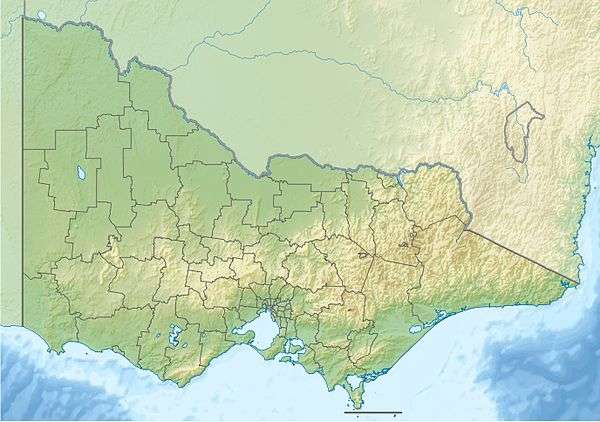
The Cobberas Range, a mountain range that is part of the Great Dividing Range within the Victorian Alps, is located in north-eastern Victoria in Australia.[3] The range is located in the Cobberas Wilderness area of the Alpine National Park.[4]
Peaks include:
- Mount Cobberas No. 1, at 1,810 metres (5,940 ft)[1]
- Mount Cobberas No. 2
- Moscow Peak
- Middle Peak
- Cleft Peak[3]
In January 1854, Victorian Government Botanist Ferdinand von Mueller passed through the area on the second of his three expeditions to the Alps. He collected a large number of plants, many of which had not been previously recorded.[5]
See also
References
- 1 2 "Mount Cobberas, Australia". Peakbagger.com. Retrieved 2014-08-07.
- ↑ "Mount Cobberas No. 1: 13133". Vicnames. 2 May 1966. Retrieved 7 August 2014.
- 1 2 "8524-10 Amphitheatre - Mt Cobberas". Victorian Resources Online - East Gippsland. Department of Primary Industries (Victoria). Retrieved 4 July 2011.
- ↑ "Source of the Rivers - around Mitta Mitta, Omeo, Tallangatta and Corryong (map)" (PDF). Alpine National Park. Retrieved 3 July 2011.
- ↑ Slattery, Deirdre (1998). The Australian Alps: Kosciuszko, Alpine and Namadgi National Parks. Sydney: University of New South Wales Press. pp. 106–107. ISBN 0-86840-319-9.
This article is issued from Wikipedia - version of the 1/13/2015. The text is available under the Creative Commons Attribution/Share Alike but additional terms may apply for the media files.