Chynorany
| Chynorany | |
| Municipality | |
| Country | Slovakia |
|---|---|
| Region | Trenčín |
| District | Partizánske |
| Elevation | 175 m (574 ft) |
| Coordinates | SK 48°36′30″N 18°16′0″E / 48.60833°N 18.26667°ECoordinates: SK 48°36′30″N 18°16′0″E / 48.60833°N 18.26667°E |
| Area | 10.351269 km2 (4.00 sq mi) |
| Population | 2,754 (2011[1]) |
| Density | 266/km2 (689/sq mi) |
| Postal code | 956 33 |
| Area code | +421-38 |
| Car plate | PE |
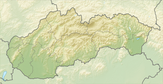
 Location of Chynorany in Slovakia
| |
| Wikimedia Commons: Chynorany | |
| Statistics: MOŠ/MIS | |
| Website: www.chynorany.sk | |
Chynorany (Hungarian: Kinorány) is a village and municipality in Partizánske District in the Trenčín Region of western Slovakia.[2]
Etymology
The name is derived from a duty to guard a local ford at early morning. Slovak: chyn-, chyniť – to pretend, to lie (here also ambush, the word is preserved e.g. in Serbian as hiniti), ran-, raný, ranný – early, morning.[3]
History
In historical records, the village was first mentioned in 1243.
Geography
The municipality lies at an altitude of 178 metres (584 ft) and covers an area of 10.351 square kilometres (3.997 sq mi). It has a population of about 2723 people.
See also
References
- ↑ "Archived copy" (PDF). Archived from the original (PDF) on 2013-10-12. Retrieved 2012-08-09.
- ↑ "Statistical Office of the Slovak Republic" (PDF). Výsledky SODB 2011. Štatistický úrad SR. Archived from the original (PDF) on 12 October 2013. Retrieved 19 August 2012.
- ↑ Krajčovič, Rudolf (2009). "Z lexiky stredovekej slovenčiny s výkladmi názvov obcí a miest (16)". Kultúra slova (in Slovak). Martin: Vydavateľstvo Matice slovenskej (4): 219.
Genealogical resources
The records for genealogical research are available at the state archive "Statny Archiv in Nitra, Slovakia"
- Roman Catholic church records (births/marriages/deaths): 1707–1946 (parish A)
External links
This article is issued from Wikipedia - version of the 11/24/2016. The text is available under the Creative Commons Attribution/Share Alike but additional terms may apply for the media files.