Chhata Tehsil
| Chhata Tehsil छाता तहसील | |
|---|---|
| Tehsil | |
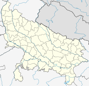 Chhata Tehsil Mat Tehsil Location in Uttar Pradesh, India | |
| Coordinates: 27°43′26″N 77°30′10″E / 27.723916°N 77.502880°ECoordinates: 27°43′26″N 77°30′10″E / 27.723916°N 77.502880°E | |
| Country |
|
| State | Uttar Pradesh |
| Elevation | 189 m (620 ft) |
| Population (2011) | |
| • Total | 19,836 |
| Languages | |
| • Official | Hindi, English |
| Time zone | IST (UTC+5:30) |
| Postal code | 281202 |
| Telephone code | 05663 |
| Vehicle registration | UP85 XXXX |
| Sub-district code | 09140002 |
| Website | Tehsil Divas Official Website |
Chhata is a tehsil in Mathura district of Uttar Pradesh state, India.[1] Its headquarters is Chhata town. It is part of Agra division. It is located 35 km north of the District headquarters Mathura, and 413 km east of the state capital Lucknow.
List of towns and villages
| Village Name | Population | Administrative Division |
|---|---|---|
| Adampur | 1,137 | Chhata |
| Agaryala | 5,688 | Chhata |
| Ahuri | 1,190 | Chhata |
References
- ↑ "जाति प्रमाण पत्र के लिए वसूले 65000". Amar Ujala. Retrieved 14 January 2016.
External links
 |
Mathura district | Hathras district | Mathura district | |
| Bharatpur district, Rajasthan | |
Etawah district | ||
| ||||
| | ||||
| Dhaulpur district, Rajasthan | Morena district, Madhya Pradesh | Bhind district, Madhya Pradesh |
This article is issued from Wikipedia - version of the 5/20/2016. The text is available under the Creative Commons Attribution/Share Alike but additional terms may apply for the media files.