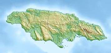
Cagway Bay
| Cagway Bay | |
|---|---|
 Location in Jamaica | |
| Location | Kingston Harbour |
| Coordinates | 17°57′23″N 76°50′26″W / 17.9564°N 76.8405°WCoordinates: 17°57′23″N 76°50′26″W / 17.9564°N 76.8405°W |
| Basin countries | Jamaica |
Cagway Bay as the English called it following their arrival in Jamaica during the invasion of 1655 had been known to the earlier Taino and Spanish occupiers as Caguay or Caguaya bay.[1]
The bay in turn got its name from the Taino name for the sand spit now known as the Palisadoes which protects the bay or, as it is now known as, Kingston Harbour. Edward Long argued in his 1744 History of Jamaica argues that the names were "a corruption of caragua, the Indian name for coratoe, or great aloe, which overspreads the adjacent Saltpan Hill".[1]
See also
References
- 1 2 Higman, B W; Hudson, B J (2009). Jamaican Place Names (Softcover) (1st ed.). Kingston, Jamaica: University of the West Indies Press. p. 26. ISBN 9789766402174.
This article is issued from Wikipedia - version of the 4/24/2015. The text is available under the Creative Commons Attribution/Share Alike but additional terms may apply for the media files.