Arlon-Sterpenich Aerodrome
| Arlon Sterpenich Aerodrome | |||||||||||
|---|---|---|---|---|---|---|---|---|---|---|---|
| IATA: none – ICAO: EBAR | |||||||||||
| Summary | |||||||||||
| Airport type | Private | ||||||||||
| Operator | Arel-Air ASBL | ||||||||||
| Serves | Arlon | ||||||||||
| Location | Belgium | ||||||||||
| Elevation AMSL | 1,138 ft / 347 m | ||||||||||
| Coordinates | 49°39′46″N 005°53′13″E / 49.66278°N 5.88694°ECoordinates: 49°39′46″N 005°53′13″E / 49.66278°N 5.88694°E | ||||||||||
| Website | http://www.arelair.be | ||||||||||
| Map | |||||||||||
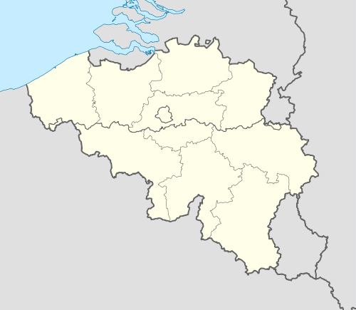 EBAR Location in Belgium | |||||||||||
| Runways | |||||||||||
| |||||||||||
Arlon Sterpenich Airfield (ICAO: EBAR) is a recreational aerodrome located east of Arlon, Luxembourg, Belgium, close to the border of the Grand Duchy of Luxembourg. Like most recreational airfields in Belgium, its use is subject to prior permission from the operator. Only ultralight aircraft are accepted.
See also
References
External links
- Operator's website
- Airport record for EBAR at Landings.com
This article is issued from Wikipedia - version of the 6/12/2016. The text is available under the Creative Commons Attribution/Share Alike but additional terms may apply for the media files.