Alipur, Netrokona
| Alipur আলীপুর | |
|---|---|
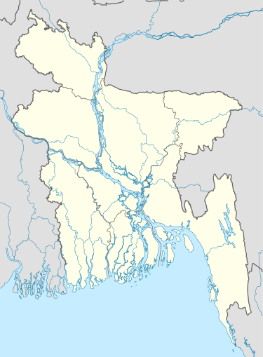 Alipur Location in Bangladesh | |
| Coordinates: 24°39.1′N 90°50.6′E / 24.6517°N 90.8433°ECoordinates: 24°39.1′N 90°50.6′E / 24.6517°N 90.8433°E | |
| Country |
|
| Division | Dhaka Division |
| District | Netrokona District |
| Upazila | Kendua Upazila |
| Municipality | Kendua Pourashava |
| Village | Alipur |
| Area | |
| • Total | 0.3 km2 (0.1 sq mi) |
| Time zone | BST (UTC+6) |
| Post code | 2480 |
| Website |
alipur |
Alipur (Bengali: আলীপুর) is a village of Kendua Upazila in Netrokona District in the Division of Dhaka, Bangladesh.
Geography
Alipur[1] is located at 24°39′04″N 90°50′34″E / 24.6510°N 90.8427°E. It has 500 households and a total area of 0.3 km².
References
- ↑ "উপজেলা ও ইউনিয়ন" (in Bengali). Archived from the original on July 10, 2010.
External links
This article is issued from Wikipedia - version of the 9/13/2016. The text is available under the Creative Commons Attribution/Share Alike but additional terms may apply for the media files.