Aba Airport
This article is about the airport in Aba, Democratic Republic of the Congo. For the airport in Abakan, Republic of Khakassia, Russia, see Abakan International Airport.
| Aba Airport | |||||||||||
|---|---|---|---|---|---|---|---|---|---|---|---|
| IATA: none – ICAO: FZJF | |||||||||||
| Summary | |||||||||||
| Serves | Aba, Democratic Republic of the Congo | ||||||||||
| Elevation AMSL | 3,051 ft / 930 m | ||||||||||
| Coordinates | 03°51′35″N 30°15′15″E / 3.85972°N 30.25417°ECoordinates: 03°51′35″N 30°15′15″E / 3.85972°N 30.25417°E | ||||||||||
| Map | |||||||||||
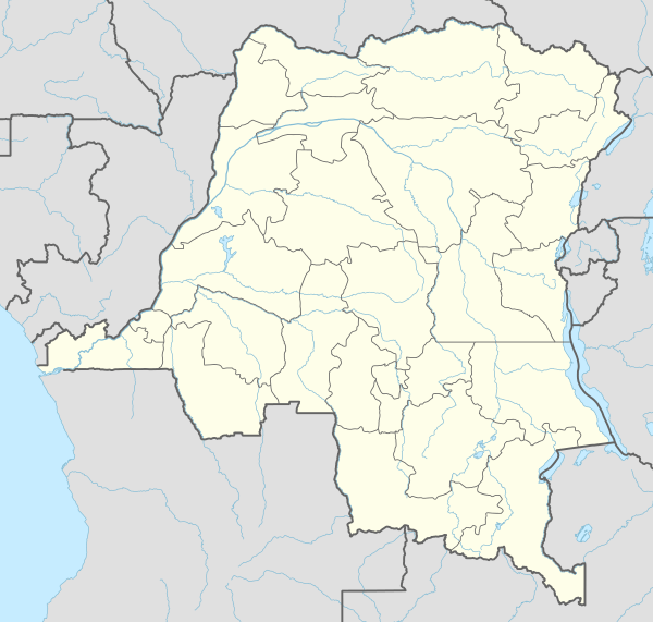
 FZJF Location of airport in the DRC | |||||||||||
| Runways | |||||||||||
| |||||||||||
Aba Airport (ICAO: FZJF) is an airport serving Aba, a city in the Orientale Province of the Democratic Republic of the Congo.
The airfield resides at an elevation of 3,051 feet (930 m) above mean sea level.[1] It has one runway measuring about 1,030 by 20 metres (3,379 ft × 66 ft).
References
- 1 2 Airport information for Aba, Democratic Republic of Congo (ICAO: FZJF) at Great Circle Mapper.
- ↑ Google Maps - Aba
This article is issued from Wikipedia - version of the 4/15/2016. The text is available under the Creative Commons Attribution/Share Alike but additional terms may apply for the media files.