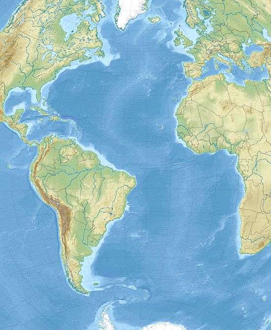
1975 North Atlantic earthquake
 | |
| Date | 26 May 1975 |
|---|---|
| Origin time | 9:11 UTC [1] |
| Magnitude | Mw 7.9 [1] |
| Depth | 33 km (21 mi) [1] |
| Epicenter | 35°58′N 17°39′W / 35.97°N 17.65°W [1] |
| Type | Strike-slip |
| Total damage | Limited [2] |
| Max. intensity | VI (Strong) [2] |
| Tsunami | 2.1 m (6 ft 11 in) [1] |
The 1975 North Atlantic earthquake occurred on May 26 at 09:11 UTC. The epicenter was located in the North Atlantic, in an area between the Azores, Iberian Peninsula, and Morocco. It had a magnitude of Mw 7.9, or Ms 8.1.[3]
This was an intraplate earthquake that was located about 200 km south of the Gloria Fault, the presumed boundary between the African Plate and the Eurasia Plate. It had a right-lateral strike-slip focal mechanism and was unusually large for an oceanic strike-slip event.[4][5] Damage was reported in Madeira, which is about 250 km away.[6][7] A tsunami of 0.3 m in maximum water elevation was recorded in Lagos, Portugal and an eyewitness reported a 2 m (6 ft 7 in) wave height at Ponta Delgada in the Azores.[4]
References
- 1 2 3 4 5 USGS (September 4, 2009), PAGER-CAT Earthquake Catalog, Version 2008_06.1, United States Geological Survey
- 1 2 National Geophysical Data Center / World Data Service (NGDC/WDS), Significant Earthquake Database, National Geophysical Data Center, NOAA, doi:10.7289/V5TD9V7K
- ↑ Kanamori, H.; Abe, K. (1979). "Reevaluation of the Turn-of-the-Century Seismicity Peak" (PDF). Journal of Geophysical Research. 84 (B11): 6134. doi:10.1029/JB084iB11p06131.
- 1 2 Kaabouben F.; Brahim A.I.; Toto E.; Baptista M.A.; Miranda J.M.; Soares P.; Luis J.F. (2008). "On the focal mechanism of the 26.05.1975 North Atlantic event contribution from tsunami modeling" (PDF). Journal of Seismology. 12 (4): 575–583. doi:10.1007/s10950-008-9110-6.
- ↑ Lynnes C.S.; Ruff L.J. (1985). "Source process and tectonic implications of the great 1975 North Atlantic earthquake" (PDF). Geophysical Journal of the Royal Astronomical Society. 82 (3): 497–510. doi:10.1111/j.1365-246X.1985.tb05148.x.
- ↑ USGS (October 20, 2012). "Earthquake History for May 26th". Today in Earthquake History. United States Geological Survey. Retrieved February 22, 2013.
- ↑ Abreu U.; Tavares A.O.; Rodrigues D. "Processos de perigosidade natural no Município de Câmara de Lobos - Madeira, contributo para a gestão do risco e de emergência" (PDF) (in Portuguese). pp. 53–71. Retrieved February 22, 2013.
This article is issued from Wikipedia - version of the 9/17/2016. The text is available under the Creative Commons Attribution/Share Alike but additional terms may apply for the media files.